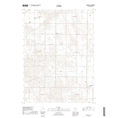
2017 Map of Westerville
USGS Topo · Published 2017About this map
Westerville and Weissert anchor this rural survey of Custer County, revealing a landscape defined by the drainage of Clear Cr and the distinct geography of the French Tableland. The settlement pattern follows a grid of local routes like Weissert Rd and RD 797, connecting family-owned tracts and community landmarks across the plains. Genealogists will find significant value in the distribution of burial grounds across the townships, including Westerville Cem, Lone Tree Cem, French Tableland Cem, and Dry Valley Cem. The map illustrates the transition from the tabletop plateau of the northwest down into the low-lying Dry Valley to the northeast, capturing the agricultural character of central Nebraska in the early 21st century. This study provides a precise inventory of every section line and remote road, from Cherryvale Dr to the namesake Lone Tree Cemetery Rd.
Find a feature on this map
33 named features on this map. Tap any name to fly to it.
Don’t see what you’re looking for? This feature index may not catch every label — zoom into the map to look around manually.
Map Details
Editions of this 2017 Westerville Map
This is the sole edition of this map. No revisions or reprints were ever made.
Other maps of this area

1951 · Broken Bow NE
USGS Topo · 1:24,000

1951 · Westerville
USGS Topo · 1:24,000

1951 · Ansley
USGS Topo · 1:24,000

1951 · Broken Bow SE
USGS Topo · 1:24,000

1951 · Ansley NE
USGS Topo · 1:24,000

1951 · Round Valley
USGS Topo · 1:24,000

1951 · Ansley SE
USGS Topo · 1:24,000

1952 · Sargent SE
USGS Topo · 1:24,000

1952 · Sargent SW
USGS Topo · 1:24,000

1955 · Broken Bow
USGS Topo · 1:250,000