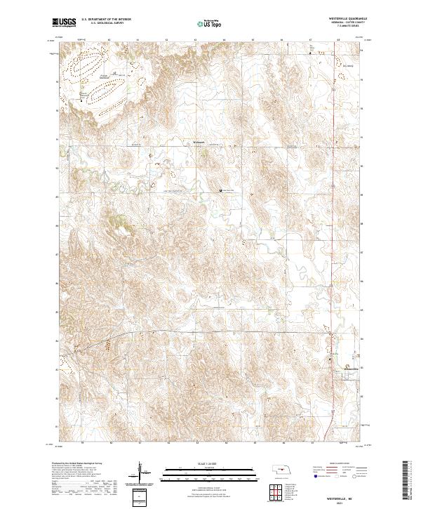
2021 Map of Westerville
USGS Topo · Published 2021About this map
Westerville and Weissert anchor this rural landscape in Custer County, where the high terrain of the French Tableland meets the depressions of Dry Valley. The map reveals a deeply rooted agricultural community through its network of township and range sections, connected by gravel routes like Weissert Rd and Lone Tree Cemetery Rd. Family and community history is preserved in several scattered burial grounds, including the Westerville Cem on the outskirts of its namesake settlement and the French Tableland Cem to the northwest. The drainage of Clear Cr cuts through the loess hills, defining the local topography and influencing the placement of early farmsteads. This survey captures the enduring rural character of central Nebraska, showing the persistent organization of land use and the specific locations of historic rural infrastructure.
Find a feature on this map
33 named features on this map. Tap any name to fly to it.
Don’t see what you’re looking for? This feature index may not catch every label — zoom into the map to look around manually.
Map Details
Editions of this 2021 Westerville Map
This is the sole edition of this map. No revisions or reprints were ever made.
Other maps of this area

1951 · Broken Bow NE
USGS Topo · 1:24,000

1951 · Westerville
USGS Topo · 1:24,000

1951 · Ansley
USGS Topo · 1:24,000

1951 · Broken Bow SE
USGS Topo · 1:24,000

1951 · Ansley NE
USGS Topo · 1:24,000

1951 · Round Valley
USGS Topo · 1:24,000

1951 · Ansley SE
USGS Topo · 1:24,000

1952 · Sargent SE
USGS Topo · 1:24,000

1952 · Sargent SW
USGS Topo · 1:24,000

1955 · Broken Bow
USGS Topo · 1:250,000