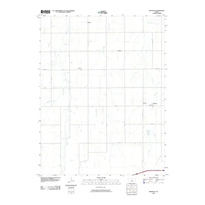
2009 Map of Westfall
USGS Topo · Published 2009About this map
Westfall and the surrounding Lincoln County ranchlands are defined by a network of north-south and east-west roads that follow the township and range survey lines. The settlement of Westfall sits in the eastern portion of the map, connected to the broader region by Lincoln Ave and N 260th Rd. Small, isolated communities like Barton and Edalgo dot the northern landscape, reflecting the sparse rural development characteristic of this central Kansas region.
Find a feature on this map
21 named features on this map. Tap any name to fly to it.
Don’t see what you’re looking for? This feature index may not catch every label — zoom into the map to look around manually.
Map Details
Editions of this 2009 Westfall Map
This is the sole edition of this map. No revisions or reprints were ever made.
Other maps of this area

1892 · Salina
USGS Topo · 1:125,000

1892 · Minneapolis
USGS Topo · 1:125,000

1894 · Ellsworth
USGS Topo · 1:125,000

1894 · Beloit
USGS Topo · 1:125,000

1942 · Salina
USGS Topo · 1:125,000

1955 · Manhattan
USGS Topo · 1:250,000

1955 · Great Bend
USGS Topo · 1:250,000

1955 · Hutchinson
USGS Topo · 1:250,000

1955 · Beloit
USGS Topo · 1:250,000

1956 · Manhattan
USGS Topo · 1:250,000