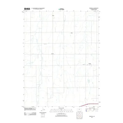
2012 Map of Westfall
USGS Topo · Published 2012About this map
Barton and Westfall anchor this section of Lincoln County, where the plains are defined by the branching waters of the Elkhorn. The landscape is carved by Elkhorn Cr, which divides into the W Elkhorn Cr and E Elkhorn Cr, alongside other drainage systems like Brush Cr and Owl Cr. This grid of rural roads and section lines reveals a quiet agricultural pattern, punctuated by small community centers and rural landmarks. For those tracing local heritage, several burial grounds are preserved across the quadrangle, including the Saint Pauls Lutheran Cem near the center and Hammer Cem to the northwest. The settlement of Edalgo and the road corridor of E Elk DR further illustrate the distribution of farmstead access and historic community nodes in this part of Kansas.
Find a feature on this map
12 named features on this map. Tap any name to fly to it.
Don’t see what you’re looking for? This feature index may not catch every label — zoom into the map to look around manually.
Map Details
Editions of this 2012 Westfall Map
This is the sole edition of this map. No revisions or reprints were ever made.
Other maps of this area

1892 · Salina
USGS Topo · 1:125,000

1892 · Minneapolis
USGS Topo · 1:125,000

1894 · Ellsworth
USGS Topo · 1:125,000

1894 · Beloit
USGS Topo · 1:125,000

1942 · Salina
USGS Topo · 1:125,000

1955 · Manhattan
USGS Topo · 1:250,000

1955 · Great Bend
USGS Topo · 1:250,000

1955 · Hutchinson
USGS Topo · 1:250,000

1955 · Beloit
USGS Topo · 1:250,000

1956 · Manhattan
USGS Topo · 1:250,000