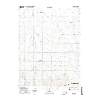
2015 Map of Westfall
USGS Topo · Published 2015About this map
Westfall and the surrounding Lincoln County agricultural lands are defined by a network of creeks and prairie drainages. The landscape is carved by Elkhorn Creek and its tributaries, including West Elkhorn Creek and East Elkhorn Creek, which wind through the northern sections of the map. These waterways shaped the early layout of the region's rural settlements, such as Barton and Edalgo, which sit along the established road grid. For those researching local family history, several burial grounds are preserved on this sheet, including the Saint Pauls Lutheran Cemetery, Washam Cemetery, and Hammer Cemetery. The map reflects a modern view of a classic Kansas township structure, where the intersection of named section roads like East Iron Drive and Fox Drive connect dispersed farmsteads and small communities to the broader drainage of Owl Creek and Brush Creek.
Find a feature on this map
33 named features on this map. Tap any name to fly to it.
Don’t see what you’re looking for? This feature index may not catch every label — zoom into the map to look around manually.
Map Details
Editions of this 2015 Westfall Map
This is the sole edition of this map. No revisions or reprints were ever made.
Other maps of this area

1892 · Salina
USGS Topo · 1:125,000

1892 · Minneapolis
USGS Topo · 1:125,000

1894 · Ellsworth
USGS Topo · 1:125,000

1894 · Beloit
USGS Topo · 1:125,000

1942 · Salina
USGS Topo · 1:125,000

1955 · Manhattan
USGS Topo · 1:250,000

1955 · Great Bend
USGS Topo · 1:250,000

1955 · Hutchinson
USGS Topo · 1:250,000

1955 · Beloit
USGS Topo · 1:250,000

1956 · Manhattan
USGS Topo · 1:250,000