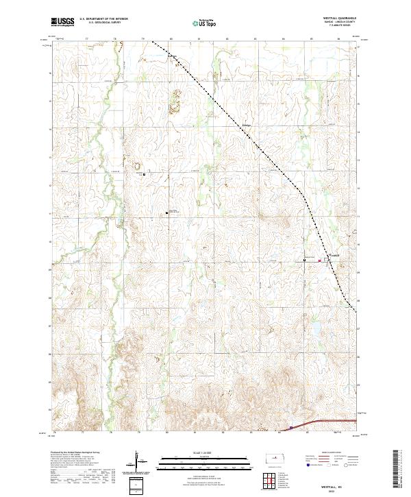
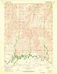
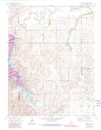
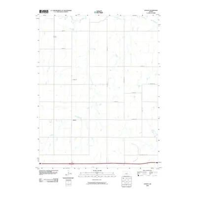
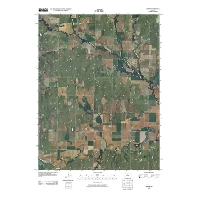
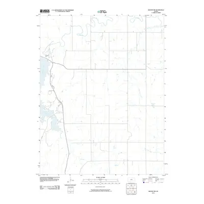
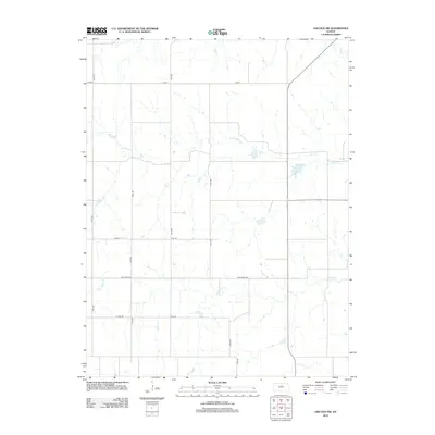
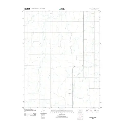
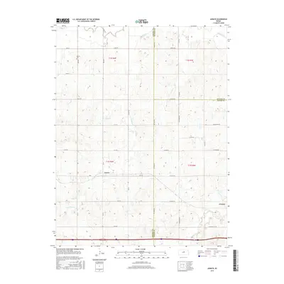
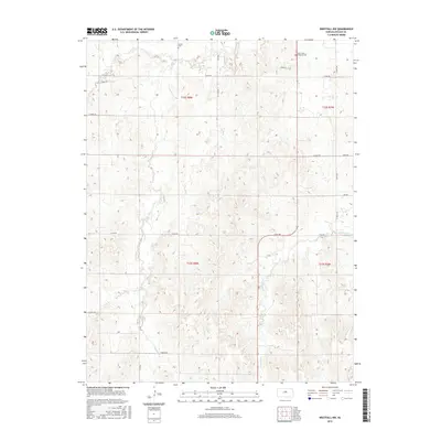
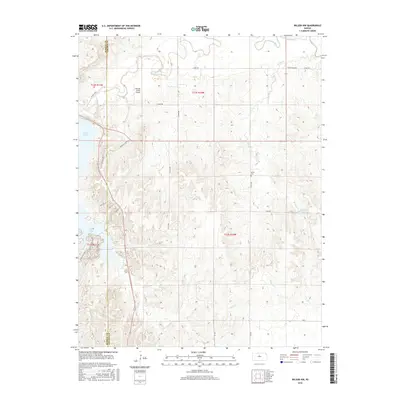
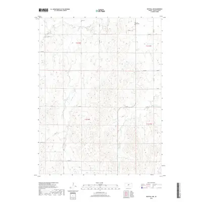
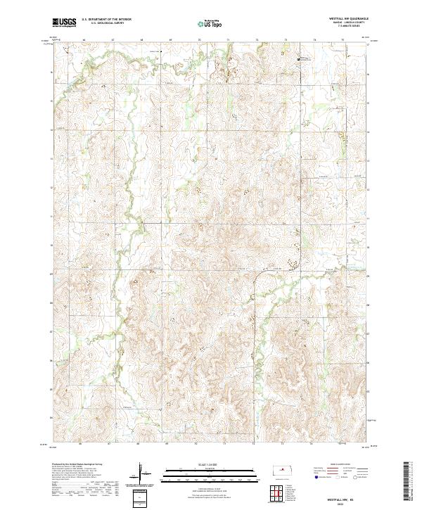
2022 Map of Westfall
USGS Topo · Published 2022About this map
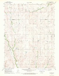
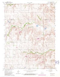
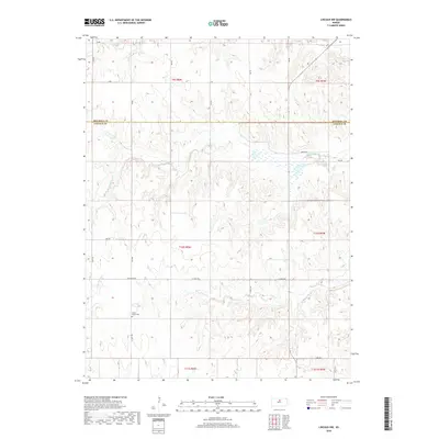
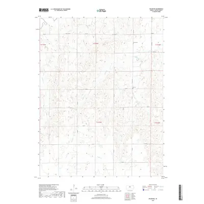
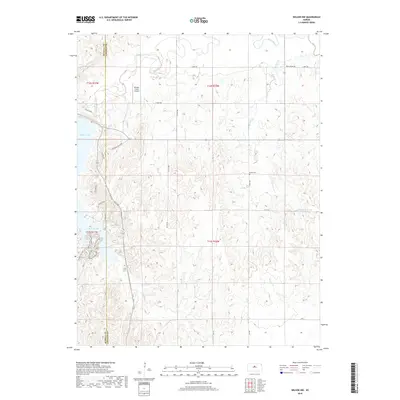
Westfall and the surrounding agricultural lands of Lincoln County are defined by a network of drainage systems feeding into the Saline River watershed. The landscape is marked by the presence of small, quiet crossroads like Barton and Edalgo, which sit along a grid of section roads including E Iron Dr and Grain Dr. These routes follow the contours of the terrain above the winding paths of Elkhorn Cr and Brush Cr.
Find a feature on this map
33 named features on this map. Tap any name to fly to it.
Don’t see what you’re looking for? This feature index may not catch every label — zoom into the map to look around manually.
Map Details
Editions of this 2022 Westfall Map
This is the sole edition of this map. No revisions or reprints were ever made.
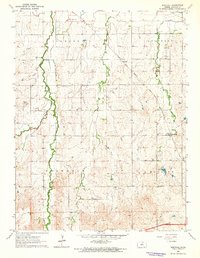
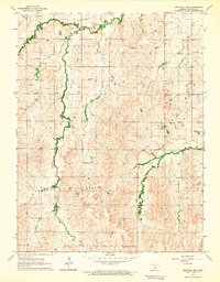
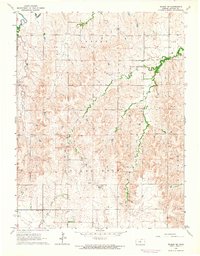
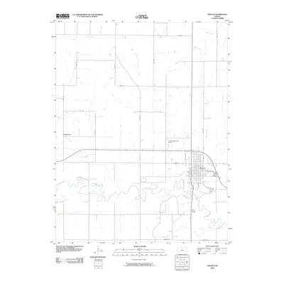
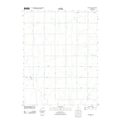
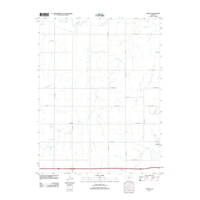
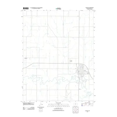
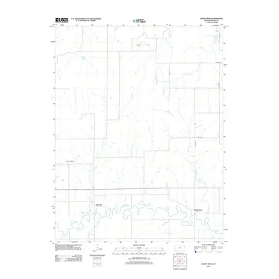
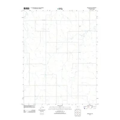
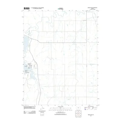
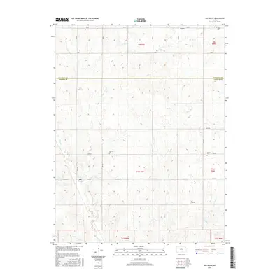
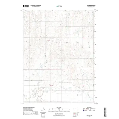
Historical Maps of Barton Through Time
60 maps found
1962 Lincoln
Lincoln County, KS
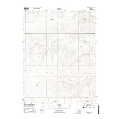
1962 Vesper
Lincoln County, KS
1963 Juniata
Lincoln County, KS
1963 Shady Bend
Lincoln County, KS
1963 Westfall
Lincoln County, KS
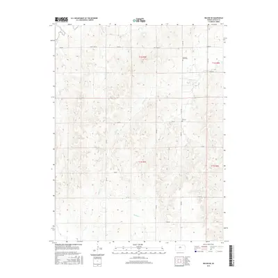
1964 Westfall NW
Lincoln County, KS
1964 Wilson NE
Lincoln County, KS
1964 Wilson NW
Lincoln County, KS
1968 Ash Grove
Lincoln County, KS
1968 Lincoln NW
Lincoln County, KS
2009 Ash Grove
Lincoln County, KS
2009 Juniata
Lincoln County, KS
2009 Lincoln
Lincoln County, KS
2009 Lincoln NW
Lincoln County, KS
2009 Shady Bend
Lincoln County, KS
2009 Vesper
Lincoln County, KS
2009 Westfall
Lincoln County, KS
2009 Westfall NW
Lincoln County, KS
2009 Wilson NE
Lincoln County, KS
2010 Wilson NW
Lincoln County, KS
2012 Ash Grove
Lincoln County, KS
2012 Juniata
Lincoln County, KS
2012 Lincoln
Lincoln County, KS
2012 Lincoln NW
Lincoln County, KS
2012 Shady Bend
Lincoln County, KS
2012 Vesper
Lincoln County, KS
2012 Westfall
Lincoln County, KS
2012 Westfall NW
Lincoln County, KS
2012 Wilson NE
Lincoln County, KS
2012 Wilson NW
Lincoln County, KS
2015 Ash Grove
Lincoln County, KS
2015 Juniata
Lincoln County, KS
2015 Shady Bend
Lincoln County, KS
2015 Vesper
Lincoln County, KS
2015 Westfall
Lincoln County, KS
2015 Westfall NW
Lincoln County, KS
2015 Wilson NE
Lincoln County, KS
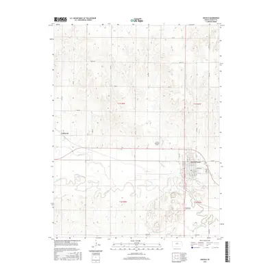
2016 Lincoln
Lincoln County, KS
2016 Lincoln NW
Lincoln County, KS
2016 Wilson NW
Lincoln County, KS
2018 Ash Grove
Lincoln County, KS
2018 Juniata
Lincoln County, KS
2018 Lincoln
Lincoln County, KS
2018 Lincoln NW
Lincoln County, KS
2018 Shady Bend
Lincoln County, KS
2018 Vesper
Lincoln County, KS
2018 Westfall
Lincoln County, KS
2018 Westfall NW
Lincoln County, KS
2018 Wilson NE
Lincoln County, KS
2018 Wilson NW
Lincoln County, KS
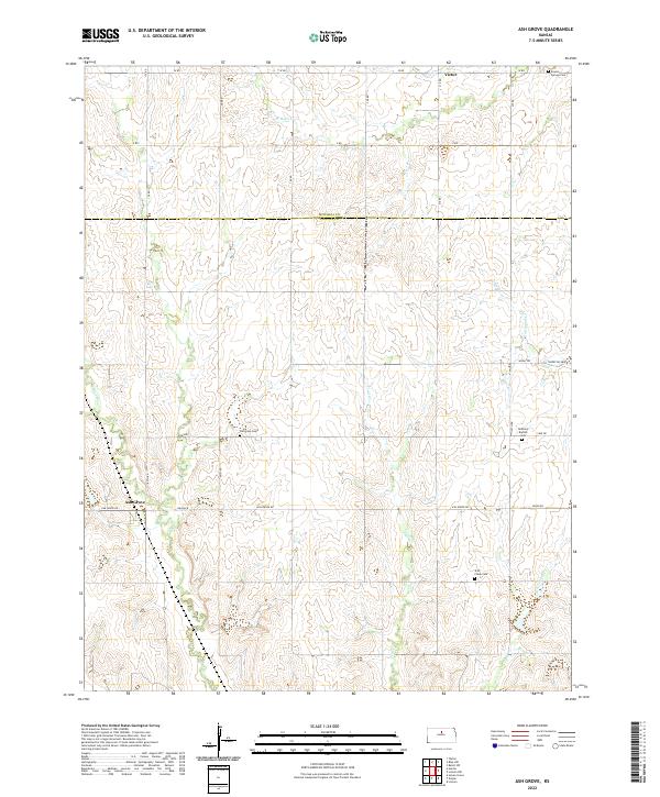
2022 Ash Grove
Lincoln County, KS
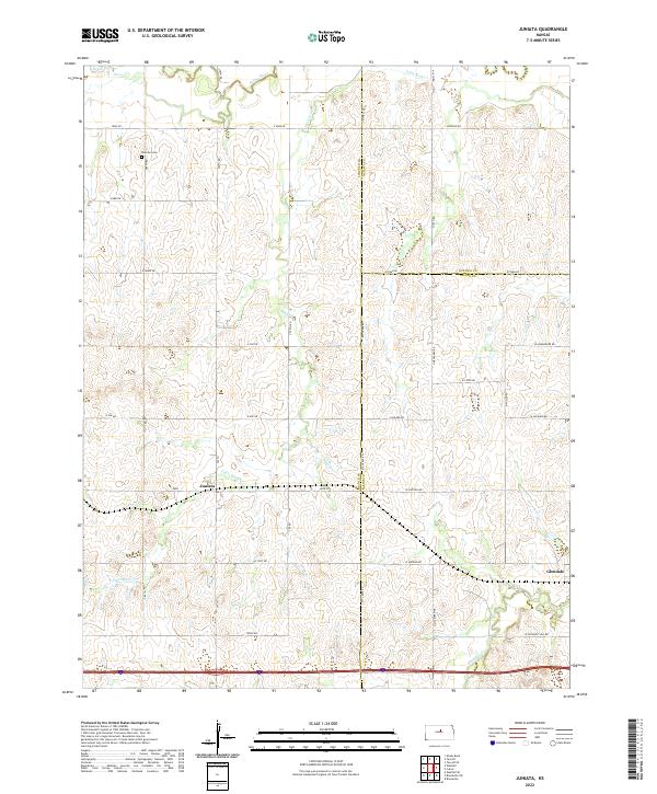
2022 Juniata
Lincoln County, KS
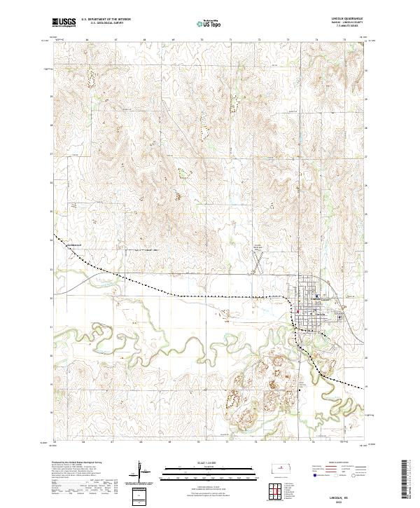
2022 Lincoln
Lincoln County, KS
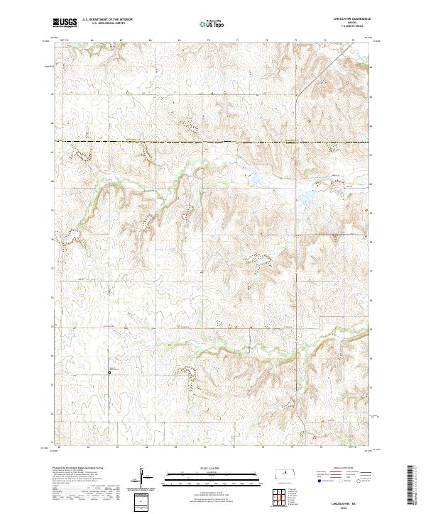
2022 Lincoln NW
Lincoln County, KS
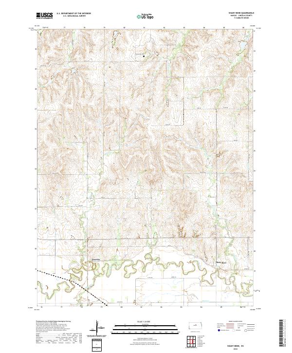
2022 Shady Bend
Lincoln County, KS
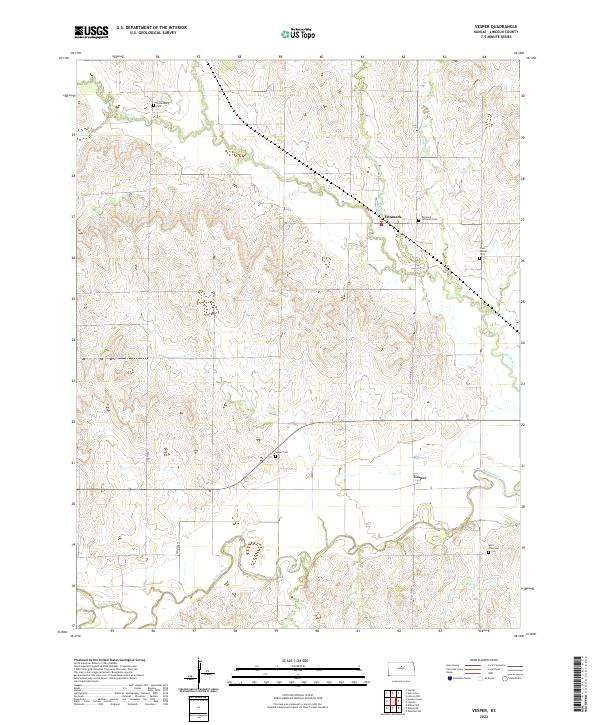
2022 Vesper
Lincoln County, KS
2022 Westfall
Lincoln County, KS
2022 Westfall NW
Lincoln County, KS
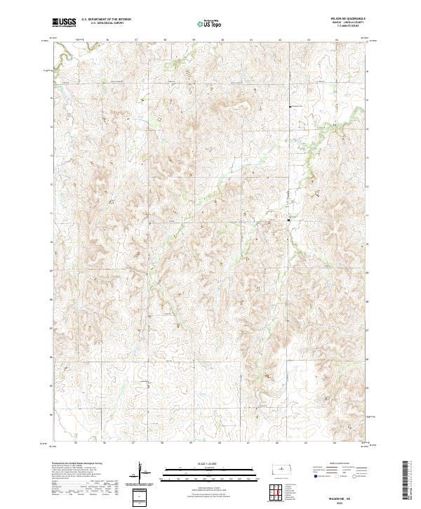
2022 Wilson NE
Lincoln County, KS
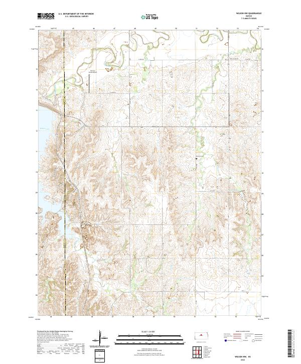
2022 Wilson NW
Lincoln County, KS