
1957 Map of Westfall SE
USGS Topo · Published 1958About this map
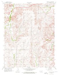
The rolling plains of Ellsworth County are defined here by a series of north-south drainage systems, most notably East Elkhorn Creek and Mulberry Creek. In the late 1950s, this rural landscape remained organized by township sections, where small institutions like School No 79 and the Clear Creek Cem served the local farming community. The topography is marked by distinctive elevation changes, particularly around Table Rock in the eastern portion of the survey. The mapping reveals a sparse but established settlement pattern, with long-standing land divisions like Garfield and Carneiro framing the agricultural character of the region. Waterways like Alum Creek and Clear Creek cut through the terrain, illustrating the natural irrigation and drainage that dictated the placement of homesteads and early country roads.
Find a feature on this map
14 named features on this map. Tap any name to fly to it.
Don’t see what you’re looking for? This feature index may not catch every label — zoom into the map to look around manually.
Map Details
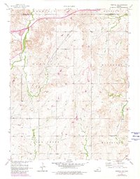
Editions of this 1957 Westfall SE Map
3 editions found
Other maps of this area

1892 · Salina
USGS Topo · 1:125,000

1894 · Ellsworth
USGS Topo · 1:125,000

1942 · Salina
USGS Topo · 1:125,000

1955 · Great Bend
USGS Topo · 1:250,000

1955 · Hutchinson
USGS Topo · 1:250,000

1957 · Great Bend
USGS Topo · 1:250,000

1957 · Ellsworth
USGS Topo · 1:24,000

1957 · Westfall SW
USGS Topo · 1:24,000

1957 · Brookville SW
USGS Topo · 1:24,000
1957 · Carneiro
USGS Topo · 1:24,000