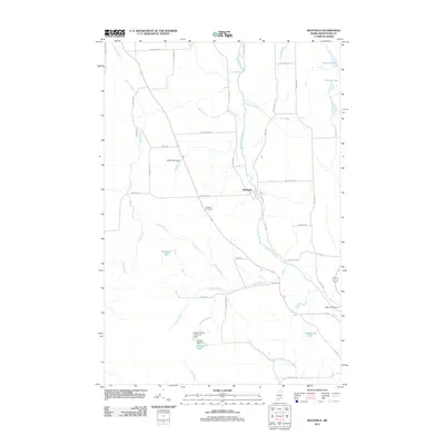
2011 Map of Westfield
USGS Topo · Published 2011About this map
Prestile Stream winds through this northern Maine landscape, serving as a central drainage for the agricultural and forested lands of Westfield. In the early 21st century, the area remains defined by its water management and aviation infrastructure, with landmarks such as Mars Hill Airport and several engineered water controls, including the Water District Reservoir Dam and Youngs Lake Dam. Local history is anchored by the Marshall Cemetery and the eponymous Smith Farm Dam, while a network of rural roads like Bangor Rd and W Ridge Rd connects the scattered homesteads. The geography is characterized by numerous small brooks and lakes, such as Westfield Lake and Estabrook Lake, which reflect the region's glacial topography and its long-standing reliance on these natural water resources.
Find a feature on this map
46 named features on this map. Tap any name to fly to it.
Don’t see what you’re looking for? This feature index may not catch every label — zoom into the map to look around manually.
Map Details
Editions of this 2011 Westfield Map
This is the sole edition of this map. No revisions or reprints were ever made.
Other maps of this area

1934 · Bridgewater
USGS Topo · 1:48,000

1935 · Howe Brook
USGS Topo · 1:48,000

1935 · Presque Isle
USGS Topo · 1:62,500

1936 · Mars Hill
USGS Topo · 1:48,000

1938 · Bridgewater
USGS Topo · 1:62,500

1939 · Howe Brook
USGS Topo · 1:62,500

1940 · Mars Hill
USGS Topo · 1:62,500

1951 · Mars Hill
USGS Topo · 1:62,500

1951 · Bridgewater
USGS Topo · 1:62,500

1953 · Bridgewater
USGS Topo · 1:50,000