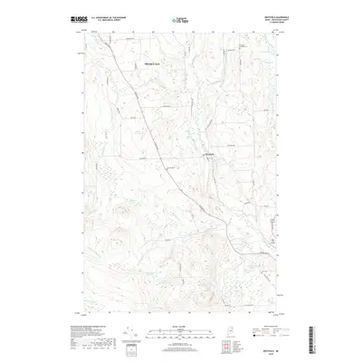
2018 Map of Westfield
USGS Topo · Published 2018About this map
Westfield serves as the central hub of this northern Maine landscape, where the primary corridor of Houlton Rd and Main St cuts through the rolling agricultural and timber lands south of Presque Isle. The area is defined by its complex drainage network, anchored by the winding Prestile Stream and its many tributaries like Youngs Brook and Rideout Brook. High-elevation water features such as Westfield Lake and Youngs Lake sit amidst the varied topography, while the Water District Reservoir indicates the infrastructure required for the region's scattered settlements.
Find a feature on this map
59 named features on this map. Tap any name to fly to it.
Don’t see what you’re looking for? This feature index may not catch every label — zoom into the map to look around manually.
Map Details
Editions of this 2018 Westfield Map
This is the sole edition of this map. No revisions or reprints were ever made.
Other maps of this area

1934 · Bridgewater
USGS Topo · 1:48,000

1935 · Howe Brook
USGS Topo · 1:48,000

1935 · Presque Isle
USGS Topo · 1:62,500

1936 · Mars Hill
USGS Topo · 1:48,000

1938 · Bridgewater
USGS Topo · 1:62,500

1939 · Howe Brook
USGS Topo · 1:62,500

1940 · Mars Hill
USGS Topo · 1:62,500

1951 · Mars Hill
USGS Topo · 1:62,500

1951 · Bridgewater
USGS Topo · 1:62,500

1953 · Bridgewater
USGS Topo · 1:50,000