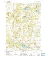
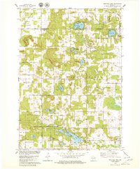
1979 Map of Westfield West
USGS Topo · Published 1991About this map
The village of Westfield anchors the southeastern corner of this central Wisconsin landscape, where the sandy plains meet a series of glacial lakes and wetlands. The terrain is defined by a dense concentration of water bodies, including Pleasant Lake, Wood Lake, and the winding Lawrence Creek, which is protected within the Lawrence Creek State Public Hunting Grounds. This environment supported a mix of small-scale agriculture and early conservation efforts, evidenced by the presence of the Chaffee Creek State Fishery Area and numerous local landmarks.
Find a feature on this map
53 named features on this map. Tap any name to fly to it.
Don’t see what you’re looking for? This feature index may not catch every label — zoom into the map to look around manually.
Map Details
Editions of this 1979 Westfield West Map
2 editions found
Other maps of this area

1955 · Green Bay
USGS Topo · 1:250,000

1957 · Madison
USGS Topo · 1:250,000

1958 · Coloma
USGS Topo · 1:48,000

1959 · Wautoma
USGS Topo · 1:48,000

1960 · Madison
USGS Topo · 1:250,000

1961 · Oxford
USGS Topo · 1:62,500

1961 · Montello
USGS Topo · 1:62,500

1968 · Coloma SW
USGS Topo · 1:24,000

1968 · Coloma
USGS Topo · 1:24,000

1968 · Richford
USGS Topo · 1:24,000