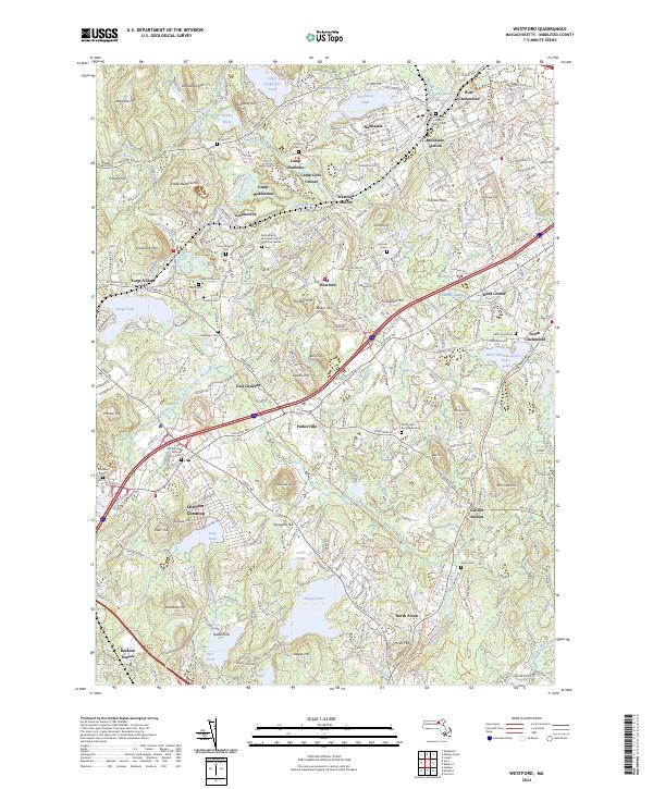
2024 Map of Westford
USGS Topo · Published 2024About this map
Littleton Common and the surrounding Middlesex County landscape reveal a complex network of colonial-era heritage and modern suburban transition. The map identifies numerous historical burial sites, including the Old Pioneer Burying Ground and the Old Burying Ground Cem, alongside the unique Jonas and Keyes Family Tomb. These sites, coupled with the Saint Mark's Episcopal Church Memorial Garden, provide significant touchstones for genealogical research in a region defined by its glacial topography.
Find a feature on this map
96 named features on this map. Tap any name to fly to it.
Don’t see what you’re looking for? This feature index may not catch every label — zoom into the map to look around manually.
Map Details
Editions of this 2024 Westford Map
This is the sole edition of this map. No revisions or reprints were ever made.
Other maps of this area

1886 · Lowell
USGS Topo · 1:62,500

1886 · Framingham
USGS Topo · 1:62,500

1887 · Marlboro
USGS Topo · 1:62,500

1889 · Marlboro
USGS Topo · 1:62,500

1889 · Framingham
USGS Topo · 1:62,500

1893 · Lowell
USGS Topo · 1:62,500

1893 · Groton
USGS Topo · 1:62,500

1894 · Framingham
USGS Topo · 1:62,500

1896 · Marlboro
USGS Topo · 1:62,500

1898 · Marlboro
USGS Topo · 1:62,500