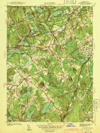
1941 Map of Westford
USGS Topo · Published 1941About this map
Stony Brook and the Boston and Maine Railroad define the industrial and transit corridor of this Middlesex County landscape just before the mid-century. The map captures established mill and granite centers like Forge Village and Graniteville, where a Clay Pit near Kissacook Hill points to local extractive industries. In the south, Littleton Common serves as a primary junction for routes including the Hartford Road and Concord Road.
Find a feature on this map
72 named features on this map. Tap any name to fly to it.
Don’t see what you’re looking for? This feature index may not catch every label — zoom into the map to look around manually.
Map Details
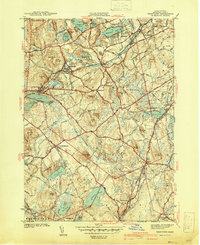
Editions of this 1941 Westford Map
2 editions found
Other maps of this area

1886 · Lowell
USGS Topo · 1:62,500

1886 · Framingham
USGS Topo · 1:62,500

1887 · Marlboro
USGS Topo · 1:62,500

1889 · Marlboro
USGS Topo · 1:62,500

1889 · Framingham
USGS Topo · 1:62,500

1893 · Lowell
USGS Topo · 1:62,500

1893 · Groton
USGS Topo · 1:62,500

1894 · Framingham
USGS Topo · 1:62,500

1896 · Marlboro
USGS Topo · 1:62,500

1898 · Marlboro
USGS Topo · 1:62,500