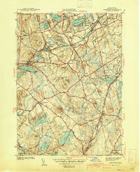
1941 Map of Westford
USGS Topo · Published 1941About this map
Stony Brook carves through the heart of this Middlesex County landscape, anchoring industrial settlements like Graniteville and Westford Sta just before the Second World War. The area is defined by a dense network of glacial hills, including Kissacook Hill and Prospect Hill, interspersed with significant water bodies such as Nabnasset Pond and Forge Pond. The Boston and Maine Railroad serves as a vital corridor, connecting the mill village of Forge Village with neighboring communities.
Find a feature on this map
61 named features on this map. Tap any name to fly to it.
Don’t see what you’re looking for? This feature index may not catch every label — zoom into the map to look around manually.
Map Details
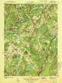
Editions of this 1941 Westford Map
2 editions found
Other maps of this area

1886 · Lowell
USGS Topo · 1:62,500

1886 · Framingham
USGS Topo · 1:62,500

1887 · Marlboro
USGS Topo · 1:62,500

1889 · Marlboro
USGS Topo · 1:62,500

1889 · Framingham
USGS Topo · 1:62,500

1893 · Lowell
USGS Topo · 1:62,500

1893 · Groton
USGS Topo · 1:62,500

1894 · Framingham
USGS Topo · 1:62,500

1896 · Marlboro
USGS Topo · 1:62,500

1898 · Marlboro
USGS Topo · 1:62,500