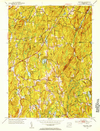
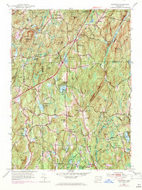
1952 Map of Westford
USGS Topo · Published 1953About this map
Nipmuck State Forest and Natchaug State Forest dominate this landscape on the border of Tolland and Windham counties in the early 1950s. The region is defined by its upland terrain, featuring numerous family-named peaks such as Stickney Hill, Snow Hill, and Lead Mine Hill, interspersed with small settlements like Westford and Union. Water resources are abundant, ranging from the Natchaug River to smaller impoundments like Lake Chaffee and Bissonnette Pond. Local history and genealogy are anchored by several legacy landmarks, including the Westford Hill Ch and several small burial sites like the Swamp Burying Ground and Moose Meadow Cem. The presence of the Boston Turnpike highlights the area's role as a transit corridor, even as rural life centered around community nodes like the Rock Meadow Sch and the Ashford Sch.
Find a feature on this map
73 named features on this map. Tap any name to fly to it.
Don’t see what you’re looking for? This feature index may not catch every label — zoom into the map to look around manually.
Map Details
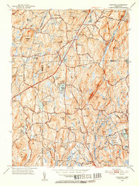
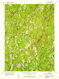
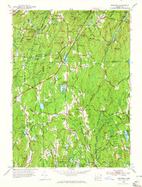
Editions of this 1952 Westford Map
5 editions found
Other maps of this area

1887 · Brookfield
USGS Topo · 1:62,500

1887 · Palmer
USGS Topo · 1:62,500

1889 · Palmer
USGS Topo · 1:62,500

1890 · Brookfield
USGS Topo · 1:62,500

1892 · Woodstock
USGS Topo · 1:62,500

1892 · Tolland
USGS Topo · 1:62,500

1893 · Palmer
USGS Topo · 1:62,500

1893 · Brookfield
USGS Topo · 1:62,500

1908 · Ware
USGS Topo · 1:125,000

1915 · Brookfield
USGS Topo · 1:62,500