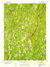
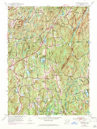
1952 Map of Westford
USGS Topo · Published 1959About this map
The Nipmuck State Forest dominates this upland landscape on the border of Tolland and Windham counties, where the high ridges of Bald Hill and Lead Mine Hill divide the drainage of the Fenton River and Mount Hope River. This 1952 revision captures a rural network of schoolhouses and burial grounds that define the historic social geography of Westford, Union, and the crossroads of Tinkerville. The presence of numerous small ponds like Morey Pond and Bissonnette Pond, alongside the larger Lake Chaffee, suggests a transition from early agrarian use to seasonal recreation.
Find a feature on this map
69 named features on this map. Tap any name to fly to it.
Don’t see what you’re looking for? This feature index may not catch every label — zoom into the map to look around manually.
Map Details
Editions of this 1952 Westford Map
5 editions found
Other maps of this area

1887 · Brookfield
USGS Topo · 1:62,500

1887 · Palmer
USGS Topo · 1:62,500

1889 · Palmer
USGS Topo · 1:62,500

1890 · Brookfield
USGS Topo · 1:62,500

1892 · Woodstock
USGS Topo · 1:62,500

1892 · Tolland
USGS Topo · 1:62,500

1893 · Palmer
USGS Topo · 1:62,500

1893 · Brookfield
USGS Topo · 1:62,500

1908 · Ware
USGS Topo · 1:125,000

1915 · Brookfield
USGS Topo · 1:62,500