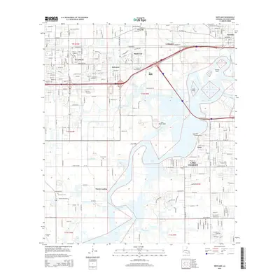
2015 Map of Westlake
USGS Topo · Published 2015About this map
Sulphur and the western outskirts of Lake Charles dominate this 2015 study of Calcasieu Parish's industrial and residential corridors. The landscape is defined by the winding course of the Calcasieu River and its numerous branches, including Bayou d'Inde and the Maple Fork. The map documents a complex network of waterways and modern infrastructure, where established neighborhoods like Maplewood and Hollywood sit adjacent to heavy industrial sites near Rose Bluff.
Find a feature on this map
121 named features on this map. Tap any name to fly to it.
Don’t see what you’re looking for? This feature index may not catch every label — zoom into the map to look around manually.
Map Details
Editions of this 2015 Westlake Map
This is the sole edition of this map. No revisions or reprints were ever made.
Other maps of this area

1932 · Moss Lake
USGS Topo · 1:31,680

1932 · Lake Charles NW
USGS Topo · 1:31,680

1932 · Lake Charles SW
USGS Topo · 1:31,680

1935 · Buhler
USGS Topo · 1:31,680

1935 · Moss Bluff
USGS Topo · 1:31,680

1942 · Lake Charles
USGS Topo · 1:62,500

1946 · Moss Lake
USGS Topo · 1:31,680

1947 · Sulphur
USGS Topo · 1:31,680

1947 · Moss Bluff
USGS Topo · 1:31,680

1947 · Sulphur Mines
USGS Topo · 1:31,680