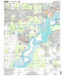
1996 Map of Westlake
USGS Topo · Published 1999About this map
The industrial and maritime landscape of Calcasieu Parish is dominated by the Calcasieu River and its complex system of navigable waterways. In this late 20th-century survey, the massive Port of Lake Charles and a sprawling Oil Refinery reflect the region's deep ties to the petrochemical industry and global shipping. Residential life is woven between these industrial zones in communities like Sulphur, Maplewood, and the historically significant Mossville. The map captures the engineered shift from natural bayous like Bayou d'Inde to the high-capacity Calcasieu Ship Channel. Family and local history can be traced through numerous established burial grounds, including the Farquarer Cem near Indian Marais and the Mimosa-Pines Cem to the south. Navigation aids and industrial landmarks like the Haymark Terminal and various tank farms underscore the vital role of Lake Charles and Prien Lake as hubs of trade and transit.
Find a feature on this map
49 named features on this map. Tap any name to fly to it.
Don’t see what you’re looking for? This feature index may not catch every label — zoom into the map to look around manually.
Map Details
Editions of this 1996 Westlake Map
This is the sole edition of this map. No revisions or reprints were ever made.
Other maps of this area

1932 · Moss Lake
USGS Topo · 1:31,680

1932 · Lake Charles NW
USGS Topo · 1:31,680

1932 · Lake Charles SW
USGS Topo · 1:31,680

1935 · Buhler
USGS Topo · 1:31,680
1935 · Moss Bluff
USGS Topo · 1:31,680

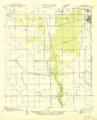
1942 · Lake Charles
USGS Topo · 1:62,500

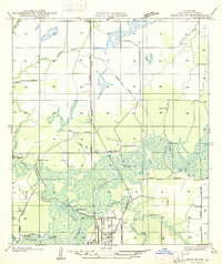
1946 · Moss Lake
USGS Topo · 1:31,680
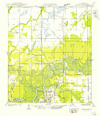
1947 · Sulphur
USGS Topo · 1:31,680
1947 · Moss Bluff
USGS Topo · 1:31,680

1947 · Sulphur Mines
USGS Topo · 1:31,680