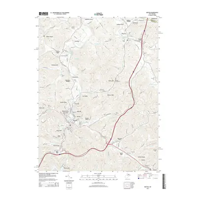
2014 Map of Weston
USGS Topo · Published 2014About this map
Weston and the surrounding Lewis County valleys are defined by the winding course of the West Fork River and its numerous tributaries. This survey captures a landscape of established neighborhoods like Kitsonville, Shady Brook, and Haleville concentrated around the river bend, while the northern reaches show the expansion of Jane Lew and smaller settlements such as Westfield and Lightburn Acres. The area is notably dense with family and community burial grounds, from the large Machpelah Cem and Forest Lawn Memorial Gardens to smaller, more remote sites like Old Hill Cem and Jesse Run Cem.
Find a feature on this map
154 named features on this map. Tap any name to fly to it.
Don’t see what you’re looking for? This feature index may not catch every label — zoom into the map to look around manually.
Map Details
Editions of this 2014 Weston Map
This is the sole edition of this map. No revisions or reprints were ever made.
Other maps of this area

1893 · Buckhannon
USGS Topo · 1:125,000

1893 · Sutton
USGS Topo · 1:125,000

1896 · Buckhannon
USGS Topo · 1:125,000

1897 · Buckhannon
USGS Topo · 1:125,000

1904 · Weston
USGS Topo · 1:62,500

1904 · Vadis
USGS Topo · 1:62,500

1906 · Burnsville
USGS Topo · 1:62,500

1912 · Crawford
USGS Topo · 1:48,000

1914 · Crawford
USGS Topo · 1:62,500

1925 · Burnsville
USGS Topo · 1:62,500