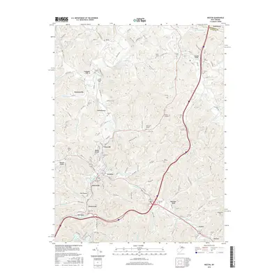
2016 Map of Weston
USGS Topo · Published 2016About this map
The West Fork River winds through this 2016 survey of Lewis County, anchoring the historic city of Weston. As the local center for commerce and culture, the town is flanked by a series of distinct residential and commercial districts, including Deanville, Kitsonville, and Shady Brook. The surrounding landscape is defined by the sharp relief of the Allegheny Plateau, with steep hollows drained by Stonecoal Creek, Polk Cr, and Murphy Cr. A notable concentration of cemeteries, such as Machpelah Cem and the hilltop Old Hill Cem, reflects the long-settled nature of the river valley.
Find a feature on this map
139 named features on this map. Tap any name to fly to it.
Don’t see what you’re looking for? This feature index may not catch every label — zoom into the map to look around manually.
Map Details
Editions of this 2016 Weston Map
This is the sole edition of this map. No revisions or reprints were ever made.
Other maps of this area

1893 · Buckhannon
USGS Topo · 1:125,000

1893 · Sutton
USGS Topo · 1:125,000

1896 · Buckhannon
USGS Topo · 1:125,000

1897 · Buckhannon
USGS Topo · 1:125,000

1904 · Weston
USGS Topo · 1:62,500

1904 · Vadis
USGS Topo · 1:62,500

1906 · Burnsville
USGS Topo · 1:62,500

1912 · Crawford
USGS Topo · 1:48,000

1914 · Crawford
USGS Topo · 1:62,500

1925 · Burnsville
USGS Topo · 1:62,500