Loading...
Loading map...2023 Map of Weston
USGS Topo · Published 2023About this map
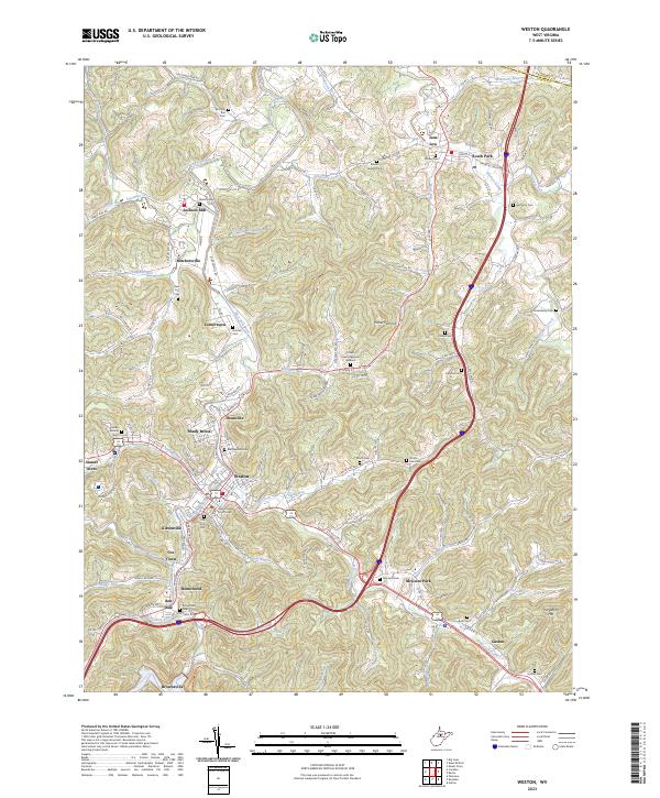
The West Fork River winds through the heart of Lewis County, anchoring a series of communities from Jane Lew in the north down to Weston. This detailed topographical view shows the area as it appears in the early 2020s, revealing a landscape where modern infrastructure meets deeply rooted local history. The town of Weston serves as a focal point, dominated by the Lewis County Courthouse and surrounded by established neighborhoods like Shady Brook and Kitsonville.
Find a feature on this map
68 named features on this map. Tap any name to fly to it.
Don’t see what you’re looking for? This feature index may not catch every label — zoom into the map to look around manually.
Map Details
Date Portrayed2023
Date Published2023
PublisherU.S. Geological Survey
Map TypeTopographic
Scale1:24000
Physical Dimensions24 x 29 inches
Editions of this 2023 Weston Map
This is the sole edition of this map. No revisions or reprints were ever made.
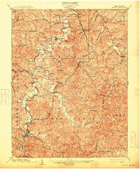
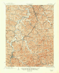
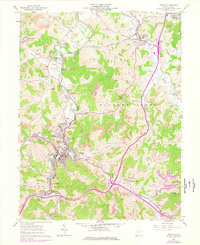
Historical Maps of Jackson Acres Through Time
4 maps found
Featured Locations
Source Details
SourceU.S. Geological Survey
CopyrightPublic Domain