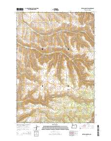
2014 Map of Weston Mountain
USGS Topo · Published 2014About this map
Weston Mountain serves as the central high point in this 2014 study of the Blue Mountains' western slopes. The landscape is defined by a dense network of canyons and ridges, where Couse Cr and Wildhorse Cr carve through the upland terrain. This area of Umatilla County demonstrates a rugged settlement pattern, with homesteads and ranch roads following the natural contours of the land. Local history is anchored by family-named landmarks like Reed and Hawley Mountain and the Hyatt Cem located near the intersection of Hodgson Rd and Or-204. The map reveals how modern infrastructure, such as Lincton Mountain Rd and Basket Mountain Rd, weaves through historically significant gaps like Big Saddle and deep recesses like Cash Hollow.
Find a feature on this map
49 named features on this map. Tap any name to fly to it.
Don’t see what you’re looking for? This feature index may not catch every label — zoom into the map to look around manually.
Map Details
Editions of this 2014 Weston Mountain Map
This is the sole edition of this map. No revisions or reprints were ever made.
Other maps of this area

1953 · Pendleton
USGS Topo · 1:250,000

1956 · Pendleton
USGS Topo · 1:250,000

1963 · Bingham Springs
USGS Topo · 1:24,000

1963 · Blalock Mountain
USGS Topo · 1:24,000

1963 · Peterson Ridge
USGS Topo · 1:24,000

1964 · Milton-Freewater
USGS Topo · 1:24,000

1964 · Thorn Hollow
USGS Topo · 1:24,000

1964 · Athena
USGS Topo · 1:24,000

1964 · Bowlus Hill
USGS Topo · 1:24,000

1964 · Weston Mountain
USGS Topo · 1:24,000