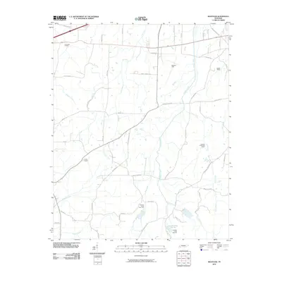
2010 Map of Westover
USGS Topo · Published 2010About this map
McKellar Field anchors the northern portion of this Westover quadrangle, situated amidst a dense network of rural roads and drainage systems. This landscape is defined by its complex hydrology, where Cub Creek, Hart Creek, and Johnson Creek carve through the terrain. The water management infrastructure is prominent here, featuring several flood-control structures such as Johnson Creek Dam Seven, Johnson Creek Dam Four, and Johnson-Creek Lake Ten.
Find a feature on this map
52 named features on this map. Tap any name to fly to it.
Don’t see what you’re looking for? This feature index may not catch every label — zoom into the map to look around manually.
Map Details
Editions of this 2010 Westover Map
This is the sole edition of this map. No revisions or reprints were ever made.
Other maps of this area

1950 · Jackson South
USGS Topo · 1:24,000

1950 · Jackson North
USGS Topo · 1:24,000

1951 · Jackson North
USGS Topo · 1:24,000

1956 · Blytheville
USGS Topo · 1:250,000

1959 · Blytheville
USGS Topo · 1:250,000

1959 · Bells
USGS Topo · 1:24,000

1959 · Westover
USGS Topo · 1:24,000

1959 · Denmark
USGS Topo · 1:24,000

1959 · Adair
USGS Topo · 1:24,000

1961 · Medon
USGS Topo · 1:24,000