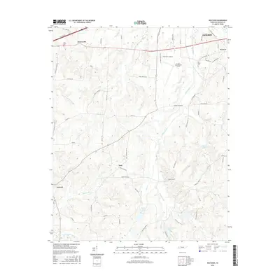
2016 Map of Westover
USGS Topo · Published 2016About this map
Mc Kellar-Sipes Regional Airport serves as a modern anchor for this landscape west of Jackson, where the terrain transitions from suburban development to an intricate network of creeks and rural crossroads. The area is defined by its water system, with Johnson Creek and its managed reservoirs like Johnson Creek Lake Seven and Johnson Cr Lake Ten providing a structured hydrography that likely supports local agricultural needs. Historical continuity is visible in the scattered small settlements such as Denmark, Neely, and Huntersville. These communities are connected by a grid of family-named roads including Harvey Johnson Rd and Algie Neely Rd, which reflect the region's genealogical depth. Long-standing local landmarks like Lane Chapel Cem and Oak Grove Cem offer touchpoints for researchers tracing the early 21st-century footprint of Westover and its surrounding rural townships.
Find a feature on this map
66 named features on this map. Tap any name to fly to it.
Don’t see what you’re looking for? This feature index may not catch every label — zoom into the map to look around manually.
Map Details
Editions of this 2016 Westover Map
This is the sole edition of this map. No revisions or reprints were ever made.
Other maps of this area

1950 · Jackson South
USGS Topo · 1:24,000

1950 · Jackson North
USGS Topo · 1:24,000

1951 · Jackson North
USGS Topo · 1:24,000

1956 · Blytheville
USGS Topo · 1:250,000

1959 · Blytheville
USGS Topo · 1:250,000

1959 · Bells
USGS Topo · 1:24,000

1959 · Westover
USGS Topo · 1:24,000

1959 · Denmark
USGS Topo · 1:24,000

1959 · Adair
USGS Topo · 1:24,000

1961 · Medon
USGS Topo · 1:24,000