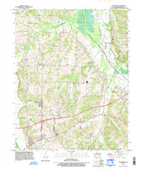
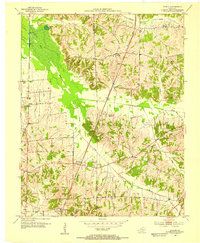
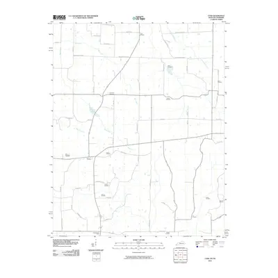
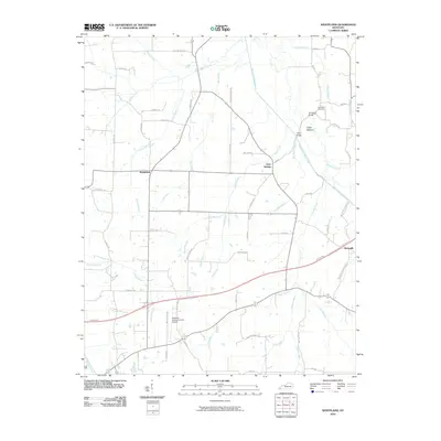
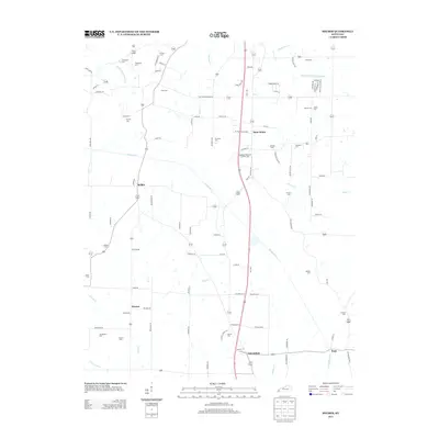
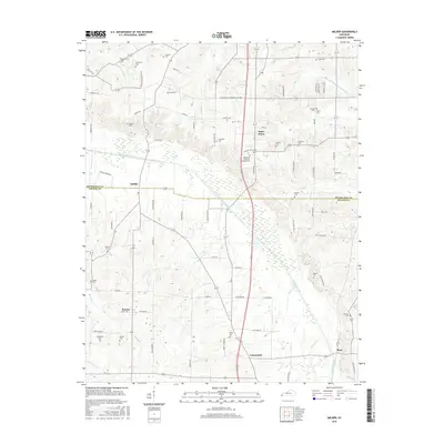
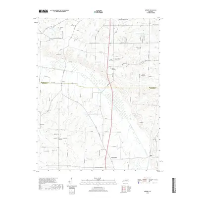
1993 Map of Westplains
USGS Topo · Published 1996About this map
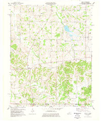
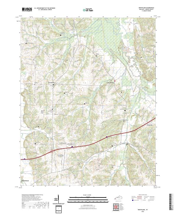
West Fork Clarks River winds through the eastern portion of this Graves County landscape, defining the broad alluvial flats of Casey Bottoms. The terrain is characterized by the prominent Tennessee Valley Divide, which separates the waters flowing toward the Mayfield Valley from the eastern drainage basins. This 1993 revision documents the late 20th-century transportation infrastructure of western Kentucky, dominated by the Purchase Parkway and its Interchange 21 near the Mayfield-Graves County Airport. Smaller rural communities like Westplains, Clear Springs, and Hicksville are connected by a network of established routes including Paducah Road and Tennessee Road. For genealogists, the map preserves the location of Hopewell Church and numerous family-named landmarks such as Old Casey Bridge and Sand Hill Cem.
Find a feature on this map
48 named features on this map. Tap any name to fly to it.
Don’t see what you’re looking for? This feature index may not catch every label — zoom into the map to look around manually.
Map Details
Editions of this 1993 Westplains Map
This is the sole edition of this map. No revisions or reprints were ever made.
Historical Maps of Mayfield Through Time
39 maps found
1936 Melber
Graves County, KY
1936 Westplains
Graves County, KY
1951 Melber
Graves County, KY

1951 Westplains
Graves County, KY

1952 Cuba
Graves County, KY
1952 Dublin
Graves County, KY
1952 Lynnville
Graves County, KY
1969 Dublin
Graves County, KY
1969 Westplains
Graves County, KY
1977 Cuba
Graves County, KY
1978 Lynnville
Graves County, KY
1982 Melber
Graves County, KY
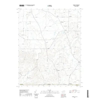
1993 Melber
Graves County, KY
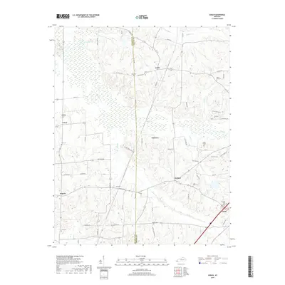
1993 Westplains
Graves County, KY
2010 Cuba
Graves County, KY
2010 Dublin
Graves County, KY
2010 Lynnville
Graves County, KY
2010 Melber
Graves County, KY
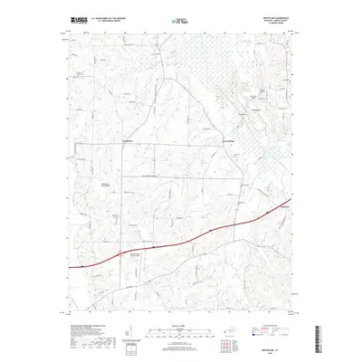
2010 Westplains
Graves County, KY
2013 Cuba
Graves County, KY
2013 Dublin
Graves County, KY
2013 Lynnville
Graves County, KY
2013 Melber
Graves County, KY
2013 Westplains
Graves County, KY
2016 Cuba
Graves County, KY
2016 Dublin
Graves County, KY
2016 Lynnville
Graves County, KY
2016 Melber
Graves County, KY
2016 Westplains
Graves County, KY
2019 Cuba
Graves County, KY
2019 Dublin
Graves County, KY
2019 Lynnville
Graves County, KY
2019 Melber
Graves County, KY
2019 Westplains
Graves County, KY
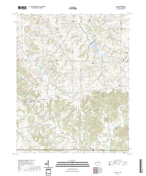
2022 Cuba
Graves County, KY
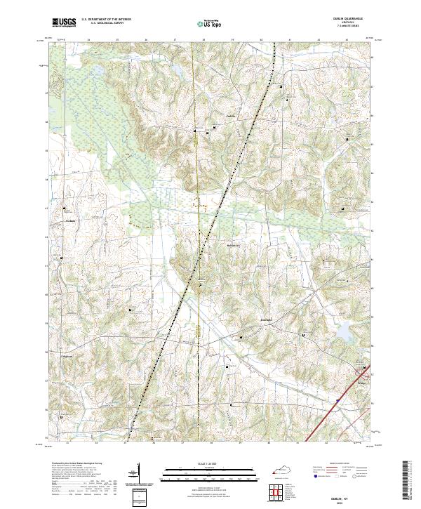
2022 Dublin
Graves County, KY
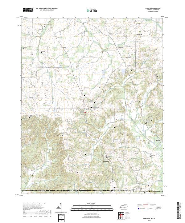
2022 Lynnville
Graves County, KY
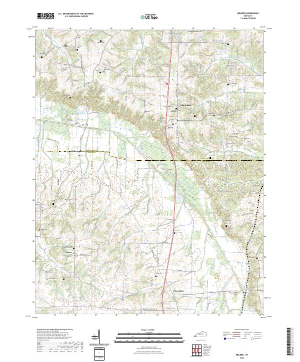
2022 Melber
Graves County, KY
2022 Westplains
Graves County, KY