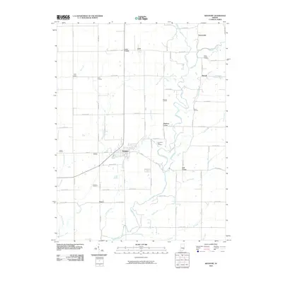
2010 Map of Westport
USGS Topo · Published 2010About this map
Westport serves as the central hub of this Decatur County landscape, where the confluence of several vital waterways shaped the early layout of the region. The town is situated near the meeting point of Sand Creek and Millstone Creek, a geographic orientation that supported the community's growth. To the north, the smaller settlements of Letts and Letts Corner are established within a rigorous grid of section roads, including W Co Rd 700 S. This map is particularly notable for its high density of family and community burial grounds, such as Eddleman Cemetery and Burks Chapel Cemetery, which provide essential landmarks for genealogical research. The varied drainage patterns of Wyaloosing Creek and Turnover Creek in the west contrast with the more linear road network, illustrating how the natural topography of southern Indiana continues to influence local infrastructure.
Find a feature on this map
71 named features on this map. Tap any name to fly to it.
Don’t see what you’re looking for? This feature index may not catch every label — zoom into the map to look around manually.
Map Details
Editions of this 2010 Westport Map
This is the sole edition of this map. No revisions or reprints were ever made.
Other maps of this area

1942 · Columbus
USGS Topo · 1:125,000

1953 · Cincinnati
USGS Topo · 1:250,000

1957 · Cincinnati
USGS Topo · 1:250,000

1957 · Butlerville
USGS Topo · 1:24,000

1957 · North Vernon
USGS Topo · 1:24,000

1958 · Greensburg
USGS Topo · 1:24,000

1958 · Millhousen
USGS Topo · 1:24,000

1958 · Westport
USGS Topo · 1:24,000

1958 · Forest Hill
USGS Topo · 1:24,000

1958 · Hartsville
USGS Topo · 1:24,000