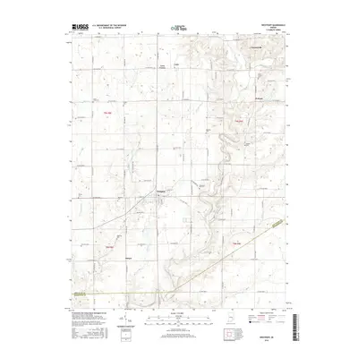
2016 Map of Westport
USGS Topo · Published 2016About this map
Westport stands as the central hub of this agricultural landscape in southern Indiana, situated where Sand Creek meanders through the township. The surrounding countryside is defined by a dense network of watercourses, including Wyaloosing Creek and the meandering Cobbs Fork. These waterways likely influenced the placement of early settlements and small rural crossroads such as Gaynorsville, Letts, and Pinhook.
Find a feature on this map
52 named features on this map. Tap any name to fly to it.
Don’t see what you’re looking for? This feature index may not catch every label — zoom into the map to look around manually.
Map Details
Editions of this 2016 Westport Map
This is the sole edition of this map. No revisions or reprints were ever made.
Other maps of this area

1942 · Columbus
USGS Topo · 1:125,000

1953 · Cincinnati
USGS Topo · 1:250,000

1957 · Cincinnati
USGS Topo · 1:250,000
1957 · Butlerville
USGS Topo · 1:24,000
1957 · North Vernon
USGS Topo · 1:24,000
1958 · Greensburg
USGS Topo · 1:24,000
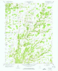
1958 · Millhousen
USGS Topo · 1:24,000
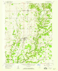
1958 · Westport
USGS Topo · 1:24,000
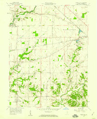
1958 · Forest Hill
USGS Topo · 1:24,000
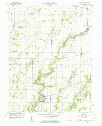
1958 · Hartsville
USGS Topo · 1:24,000