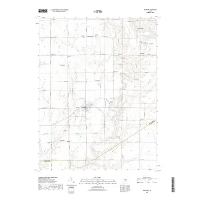
2019 Map of Westport
USGS Topo · Published 2019About this map
Westport serves as the primary hub of this 2019 landscape, situated at the confluence of agricultural fields and local waterways in southern Decatur County. The town's layout is defined by W Main St and Kentucky Ave, with the Old Westport Cem and Westport Cem providing significant genealogical touchpoints for the community. Surrounding the town, smaller settlements like Letts, Letts Corner, and Harper remain connected by an extensive grid of county roads, such as S State Rd 3 and Iron Mine Rd.
Find a feature on this map
85 named features on this map. Tap any name to fly to it.
Don’t see what you’re looking for? This feature index may not catch every label — zoom into the map to look around manually.
Map Details
Editions of this 2019 Westport Map
This is the sole edition of this map. No revisions or reprints were ever made.
Other maps of this area

1942 · Columbus
USGS Topo · 1:125,000

1953 · Cincinnati
USGS Topo · 1:250,000

1957 · Cincinnati
USGS Topo · 1:250,000
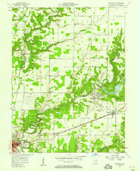
1957 · Butlerville
USGS Topo · 1:24,000
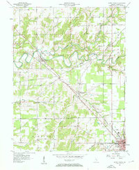
1957 · North Vernon
USGS Topo · 1:24,000
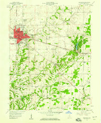
1958 · Greensburg
USGS Topo · 1:24,000
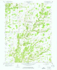
1958 · Millhousen
USGS Topo · 1:24,000
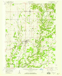
1958 · Westport
USGS Topo · 1:24,000
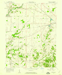
1958 · Forest Hill
USGS Topo · 1:24,000
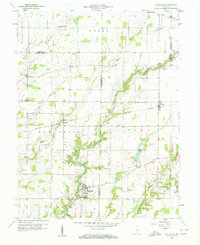
1958 · Hartsville
USGS Topo · 1:24,000