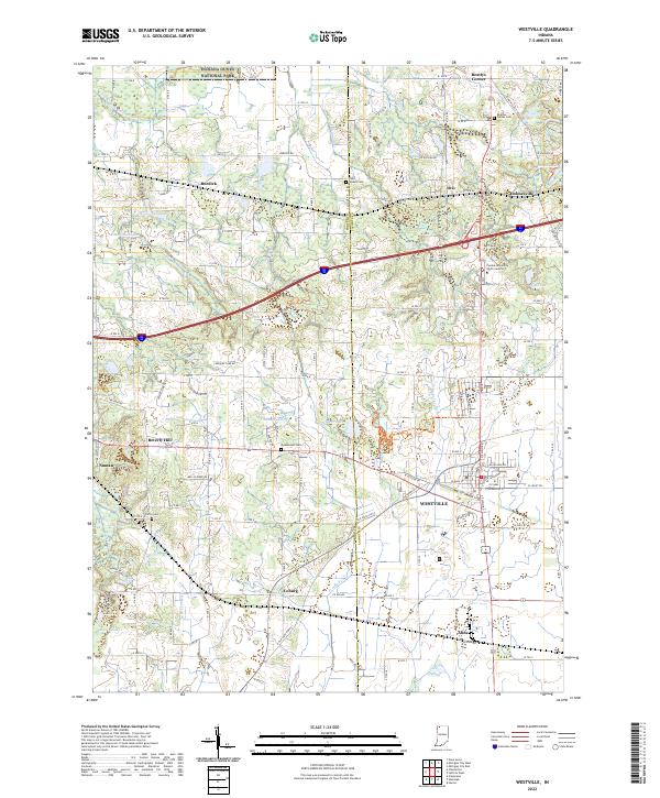
2022 Map of Westville
USGS Topo · Published 2022About this map
Westville serves as the primary hub in this portion of LaPorte County, where the transition from the rolling terrain near the Indiana Dunes National Park meets the agricultural flatlands to the south. The landscape is defined by its small crossroads settlements and a network of cemeteries that mark the area's early pioneer history, including Beattys Corner Cem and the uniquely named Eight Square Cem. Transport corridors are prominent, with multiple rail lines and modern highways intersecting near Otis and Holmesville, facilitating movement through the region.
Find a feature on this map
131 named features on this map. Tap any name to fly to it.
Don’t see what you’re looking for? This feature index may not catch every label — zoom into the map to look around manually.
Map Details
Editions of this 2022 Westville Map
This is the sole edition of this map. No revisions or reprints were ever made.
Other maps of this area

1934 · Porter
USGS Topo · 1:48,000

1940 · Porter
USGS Topo · 1:62,500

1953 · Wanatah
USGS Topo · 1:24,000

1953 · Westville
USGS Topo · 1:24,000

1953 · Valparaiso
USGS Topo · 1:24,000

1953 · Chesterton
USGS Topo · 1:24,000

1953 · Dune Acres
USGS Topo · 1:24,000

1953 · Michigan City West
USGS Topo · 1:24,000

1953 · Chicago
USGS Topo · 1:250,000

1957 · Chicago
USGS Topo · 1:250,000