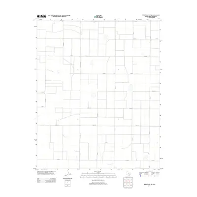
2012 Map of Westway NE
USGS Topo · Published 2012About this map
Large-scale agriculture and a precise grid of county roads define this portion of the Texas Panhandle in Deaf Smith County. The landscape is characterized by its orderly division, anchored by major north-south thoroughfares like Ranch Road 1057 and Fm-1057. These routes facilitate the movement of goods across a terrain dotted with small playas and drainage depressions that break the geometric regularity of the fields.
Find a feature on this map
22 named features on this map. Tap any name to fly to it.
Don’t see what you’re looking for? This feature index may not catch every label — zoom into the map to look around manually.
Map Details
Editions of this 2012 Westway NE Map
This is the sole edition of this map. No revisions or reprints were ever made.
Other maps of this area

1954 · Tucumcari
USGS Topo · 1:250,000

1954 · Clovis
USGS Topo · 1:250,000

1958 · Clovis
USGS Topo · 1:250,000

1958 · Tucumcari
USGS Topo · 1:250,000

1966 · Overstreet Lake
USGS Topo · 1:24,000

1966 · Simms
USGS Topo · 1:24,000

1966 · Ford
USGS Topo · 1:24,000

1970 · Chalk Hill
USGS Topo · 1:24,000

1970 · Hereford
USGS Topo · 1:24,000

1971 · Westway
USGS Topo · 1:24,000