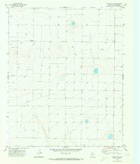
1971 Map of Westway NE
USGS Topo · Published 1973About this map
The High Plains of Deaf Smith County are captured here during a period of intensive water management for agriculture and livestock. This landscape is defined by the widespread distribution of Well and Wells sites, reflecting the critical role of groundwater in sustaining the Texas Panhandle's ranching and farming economy. The map reveals a highly structured grid of land divisions, often delineated by the fine red dashed lines that represent selected fence lines, illustrating the methodical parceling of this vast prairie.
Find a feature on this map
4 named features on this map. Tap any name to fly to it.
Don’t see what you’re looking for? This feature index may not catch every label — zoom into the map to look around manually.
Map Details
Editions of this 1971 Westway NE Map
This is the sole edition of this map. No revisions or reprints were ever made.
Other maps of this area

1954 · Tucumcari
USGS Topo · 1:250,000

1954 · Clovis
USGS Topo · 1:250,000

1958 · Clovis
USGS Topo · 1:250,000

1958 · Tucumcari
USGS Topo · 1:250,000

1966 · Overstreet Lake
USGS Topo · 1:24,000

1966 · Simms
USGS Topo · 1:24,000

1966 · Ford
USGS Topo · 1:24,000

1970 · Chalk Hill
USGS Topo · 1:24,000

1970 · Hereford
USGS Topo · 1:24,000

1971 · Westway
USGS Topo · 1:24,000