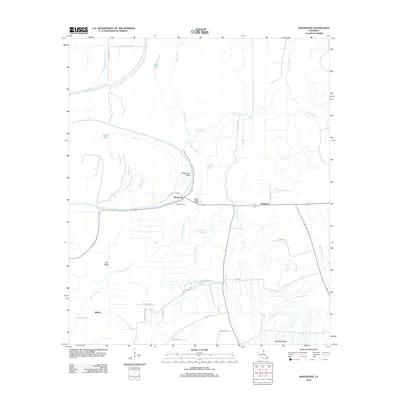
2012 Map of Westwood
USGS Topo · Published 2012About this map
Tensas River meanders sharply through this alluvial landscape, carving distinctive features like Ridge Lake Bend and leaving behind numerous oxbow remnants and secondary waterways. This part of Louisiana, characterized by its dense network of bayous including Cypress Bayou and Wildhorse Bayou, supports a patchwork of agricultural lands and natural clearings such as The Glade.
Find a feature on this map
31 named features on this map. Tap any name to fly to it.
Don’t see what you’re looking for? This feature index may not catch every label — zoom into the map to look around manually.
Map Details
Editions of this 2012 Westwood Map
This is the sole edition of this map. No revisions or reprints were ever made.
Other maps of this area

1935 · Waverly
USGS Topo · 1:62,500

1935 · Shackleford Lake
USGS Topo · 1:62,500

1939 · Talla Bena
USGS Topo · 1:62,500

1955 · Jackson
USGS Topo · 1:250,000

1958 · Shackleford Lake
USGS Topo · 1:62,500

1961 · Jackson
USGS Topo · 1:250,000

1961 · Waverly
USGS Topo · 1:62,500

1962 · Jackson
USGS Topo · 1:250,000
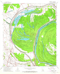
1963 · Somerset
USGS Topo · 1:24,000
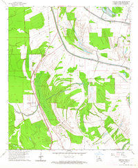
1963 · Fortune Fork
USGS Topo · 1:24,000