
1961 Map of Waverly
USGS Topo · Published 1963About this map
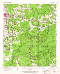
Bayou Macon and the Tensas River dominate this 1961 landscape in Madison and Richland Parishes, where the Illinois Central corridor dictates the location of local commerce. The town of Delhi serves as a primary hub, adjacent to the Delhi Compressor Sta and early Oil Wells, while small rural communities like Tendal, Quebec, and Waverly follow the rail line eastward.
Find a feature on this map
56 named features on this map. Tap any name to fly to it.
Don’t see what you’re looking for? This feature index may not catch every label — zoom into the map to look around manually.
Map Details
Editions of this 1961 Waverly Map
2 editions found
Other maps of this area

1909 · Tallulah
USGS Topo · 1:24,000

1935 · Winnsboro
USGS Topo · 1:62,500

1935 · Baskinton
USGS Topo · 1:62,500

1935 · Hurricane
USGS Topo · 1:62,500

1935 · Waverly
USGS Topo · 1:62,500

1935 · Shackleford Lake
USGS Topo · 1:62,500

1939 · Talla Bena
USGS Topo · 1:62,500

1939 · Alsatia
USGS Topo · 1:62,500

1955 · Jackson
USGS Topo · 1:250,000

1958 · Baskinton
USGS Topo · 1:62,500