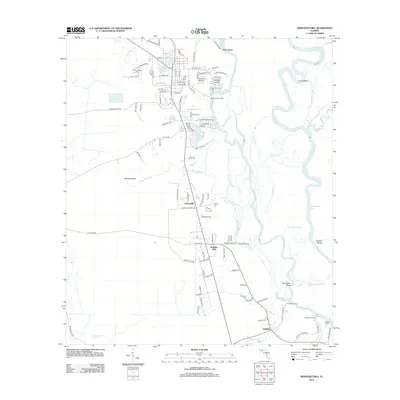
2012 Map of Wewahitchka
USGS Topo · Published 2012About this map
The Chipola River and Apalachicola River converge in this delta-like landscape of the Florida Panhandle. The intricate network of waterways includes Magnolia Slough, River Styx, and Moccasin Slough, defining a region where transportation historically relied on the water. Numerous riverfront access points like Cochran Landing, Burgess Landing, and Listers Landing emphasize the importance of river commerce and recreation.
Find a feature on this map
121 named features on this map. Tap any name to fly to it.
Don’t see what you’re looking for? This feature index may not catch every label — zoom into the map to look around manually.
Map Details
Editions of this 2012 Wewahitchka Map
This is the sole edition of this map. No revisions or reprints were ever made.
Other maps of this area

1943 · Overstreet
USGS Topo · 1:31,680

1944 · White City
USGS Topo · 1:24,000

1944 · Forbes Island
USGS Topo · 1:24,000

1945 · Dead Lake
USGS Topo · 1:31,680

1945 · Forbes Island
USGS Topo · 1:31,680

1945 · Kennedy Creek
USGS Topo · 1:31,680

1945 · White City
USGS Topo · 1:31,680

1945 · Orange
USGS Topo · 1:31,680

1945 · Wewahitchka
USGS Topo · 1:31,680

1945 · Wetappo Creek
USGS Topo · 1:31,680