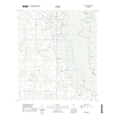
2018 Map of Wewahitchka
USGS Topo · Published 2018About this map
Wewahitchka sits at the heart of this landscape, where the town's residential grid transitions into a complex web of wetlands and waterways. The area is defined by the convergence of the Apalachicola River and the Chipola River, which create a network of secondary channels like the Chipola Cutoff and Moccasin Slough. This hydrological pattern historically shaped the local economy and settlement, as seen in the distribution of communities like Honeyville and Dalkeith along the higher ground of the western corridor. Genealogists will find several burial grounds noted, including Williamsburg Cem and Roberts Cem, which mark the presence of established families in the region. The map also identifies numerous family-named or descriptive water features, such as Lake Alice, Lockey Lake, and the winding Louisa Bend, illustrating how the local geography is intimately tied to the river's shifting course.
Find a feature on this map
102 named features on this map. Tap any name to fly to it.
Don’t see what you’re looking for? This feature index may not catch every label — zoom into the map to look around manually.
Map Details
Editions of this 2018 Wewahitchka Map
This is the sole edition of this map. No revisions or reprints were ever made.
Other maps of this area

1943 · Overstreet
USGS Topo · 1:31,680

1944 · White City
USGS Topo · 1:24,000

1944 · Forbes Island
USGS Topo · 1:24,000

1945 · Dead Lake
USGS Topo · 1:31,680

1945 · Forbes Island
USGS Topo · 1:31,680

1945 · Kennedy Creek
USGS Topo · 1:31,680

1945 · White City
USGS Topo · 1:31,680

1945 · Orange
USGS Topo · 1:31,680

1945 · Wewahitchka
USGS Topo · 1:31,680

1945 · Wetappo Creek
USGS Topo · 1:31,680