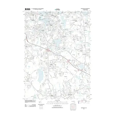
2012 Map of Weymouth
USGS Topo · Published 2012About this map
Quincy Shipyard and the industrial waterfront of Quincy Point define the northern shoreline of this coastal landscape, where the Monatiquot River meets Town River Bay. The early 21st-century suburban fabric is deeply integrated with historical transportation corridors, notably the Old Colony RR which serves the dense residential neighborhoods of North Weymouth and East Weymouth.
Find a feature on this map
115 named features on this map. Tap any name to fly to it.
Don’t see what you’re looking for? This feature index may not catch every label — zoom into the map to look around manually.
Map Details
Editions of this 2012 Weymouth Map
This is the sole edition of this map. No revisions or reprints were ever made.
Other maps of this area

1885 · Abington
USGS Topo · 1:62,500

1886 · Dedham
USGS Topo · 1:62,500

1888 · Abington
USGS Topo · 1:62,500

1892 · Boston Bay
USGS Topo · 1:62,500

1893 · Abington
USGS Topo · 1:62,500

1893 · Boston
USGS Topo · 1:62,500

1894 · Dedham
USGS Topo · 1:62,500

1903 · Boston
USGS Topo · 1:62,500

1903 · Boston Bay
USGS Topo · 1:62,500

1919 · Dedham
USGS Topo · 1:62,500