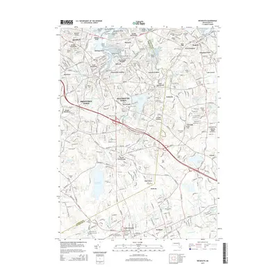
2015 Map of Weymouth
USGS Topo · Published 2015About this map
Whitmans Pond and Weymouth Great Pond anchor the landscape of this South Shore quadrangle, where the dense suburban fabric of Weymouth Town meets the historic coastal inlets of Quincy Neck and Old Spain. The map reveals a high concentration of genealogical sites, including the Old North Cem and specialized locations like the Gould Family Burying Ground Site and Hunt Family Tomb Site.
Find a feature on this map
153 named features on this map. Tap any name to fly to it.
Don’t see what you’re looking for? This feature index may not catch every label — zoom into the map to look around manually.
Map Details
Editions of this 2015 Weymouth Map
This is the sole edition of this map. No revisions or reprints were ever made.
Other maps of this area

1885 · Abington
USGS Topo · 1:62,500

1886 · Dedham
USGS Topo · 1:62,500

1888 · Abington
USGS Topo · 1:62,500

1892 · Boston Bay
USGS Topo · 1:62,500

1893 · Abington
USGS Topo · 1:62,500

1893 · Boston
USGS Topo · 1:62,500

1894 · Dedham
USGS Topo · 1:62,500

1903 · Boston
USGS Topo · 1:62,500

1903 · Boston Bay
USGS Topo · 1:62,500

1919 · Dedham
USGS Topo · 1:62,500