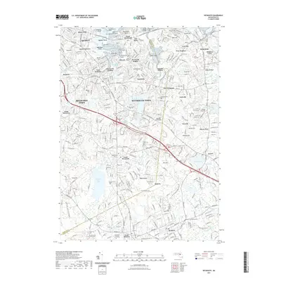
2021 Map of Weymouth
USGS Topo · Published 2021About this map
Quincy Point and the coastal neighborhoods of North Weymouth define the northern edge of this 2021 landscape, where the Weymouth Fore River Marshes meet the industrial history of the shoreline. The map reveals a dense network of suburban development and historical pockets such as Old Spain, Idlewell, and Weymouth Landing. Genealogists will find a concentration of burial sites, from the expansive Weymouth Cem and Saint Pauls Cem to the smaller Richards Family Burial Ground and Gould Family Burying Ground Cem further south.
Find a feature on this map
117 named features on this map. Tap any name to fly to it.
Don’t see what you’re looking for? This feature index may not catch every label — zoom into the map to look around manually.
Map Details
Editions of this 2021 Weymouth Map
This is the sole edition of this map. No revisions or reprints were ever made.
Other maps of this area

1885 · Abington
USGS Topo · 1:62,500

1886 · Dedham
USGS Topo · 1:62,500

1888 · Abington
USGS Topo · 1:62,500

1892 · Boston Bay
USGS Topo · 1:62,500

1893 · Abington
USGS Topo · 1:62,500

1893 · Boston
USGS Topo · 1:62,500

1894 · Dedham
USGS Topo · 1:62,500

1903 · Boston
USGS Topo · 1:62,500

1903 · Boston Bay
USGS Topo · 1:62,500

1919 · Dedham
USGS Topo · 1:62,500