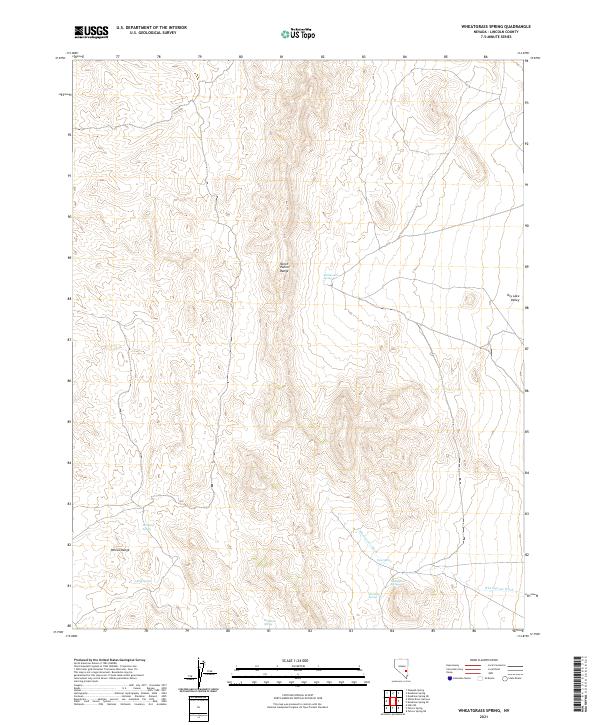
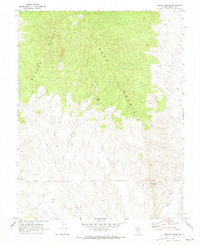
2021 Map of Wheatgrass Spring
USGS Topo · Published 2021About this map
The North Pahroc Range and the Pahroc Range dominate this desert landscape in Lincoln County, where the scarcity of water is reflected in a series of named remote springs. This 2021 survey documents several critical water sources, including Wheatgrass Spring, Rattlesnake Spring, and Mustang Spring, which have historically served as vital points for livestock and wildlife in an arid environment. The presence of Dry Lake Valley on the eastern edge of the quadrangle highlights the basin-and-range topography typical of this region.
Find a feature on this map
14 named features on this map. Tap any name to fly to it.
Don’t see what you’re looking for? This feature index may not catch every label — zoom into the map to look around manually.
Map Details
Editions of this 2021 Wheatgrass Spring Map
This is the sole edition of this map. No revisions or reprints were ever made.
Other maps of this area

1885 · Pioche
USGS Topo · 1:250,000

1886 · Pioche
USGS Topo · 1:250,000

1954 · Caliente
USGS Topo · 1:250,000

1959 · Caliente
USGS Topo · 1:250,000

1970 · Hiko NE
USGS Topo · 1:24,000
1970 · Deadman Spring
USGS Topo · 1:24,000
1970 · Deadman Spring SE
USGS Topo · 1:24,000

1970 · Wheatgrass Spring
USGS Topo · 1:24,000
1970 · Deadman Spring NE
USGS Topo · 1:24,000
1970 · Weepah Spring
USGS Topo · 1:24,000