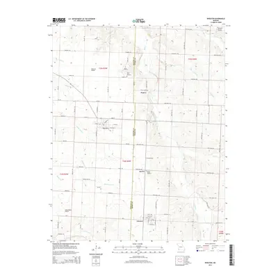
2015 Map of Wheaton
USGS Topo · Published 2015About this map
Wheaton and Fairview serve as the primary hubs in this corner of Barry and Newton Counties, where the Ozark plateau is deeply carved by drainage systems like Shoal Creek and Middle Indian Cr. The landscape is defined by its rural character and genealogical anchors, including the Saint Peter and Paul Cemetery in the northeast and Muncie Chapel Cemetery near Sunrise. Local family history is etched into the terrain at Shannon Hollow and Edmondson Hollow, while small clusters of settlement persist at Pioneer. This survey reflects the enduring grid of agricultural roads that connect these communities, such as Mulberry Rd and Palm Rd, following the contours of the hills and stream valleys that have dictated the region's development for generations.
Find a feature on this map
79 named features on this map. Tap any name to fly to it.
Don’t see what you’re looking for? This feature index may not catch every label — zoom into the map to look around manually.
Map Details
Editions of this 2015 Wheaton Map
This is the sole edition of this map. No revisions or reprints were ever made.
Other maps of this area

1937 · Cassville
USGS Topo · 1:48,000

1941 · Rocky Comfort
USGS Topo · 1:62,500

1943 · Ritchey
USGS Topo · 1:62,500

1943 · Monett
USGS Topo · 1:62,500

1943 · Rocky Comfort
USGS Topo · 1:62,500

1944 · Cassville
USGS Topo · 1:62,500

1945 · Harrison
USGS Topo · 1:250,000

1949 · Harrison
USGS Topo · 1:250,000

1954 · Harrison
USGS Topo · 1:250,000

1954 · Tulsa
USGS Topo · 1:250,000