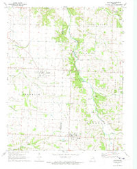
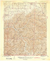
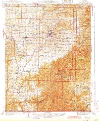
1972 Map of Wheaton
USGS Topo · Published 1973About this map
The town of Fairview and the surrounding agricultural landscape of Barry and Newton Counties are meticulously documented in this early 1970s survey. The terrain is defined by the winding course of Shoal Creek and its many tributaries, including Capps Creek and Joyce Creek. Local history is preserved through the location of rural landmarks such as Mt Olive Ch, Muncie Chapel, and the Barker Cem. To the north, the settlement of Pulaskifield sits near evidence of local industry, indicated by a Tailings label near the creek bank.
Find a feature on this map
27 named features on this map. Tap any name to fly to it.
Don’t see what you’re looking for? This feature index may not catch every label — zoom into the map to look around manually.
Map Details
Editions of this 1972 Wheaton Map
This is the sole edition of this map. No revisions or reprints were ever made.
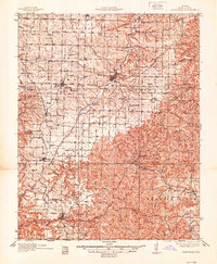
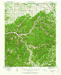
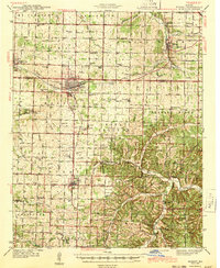
Other maps of this area
1937 · Cassville
USGS Topo · 1:48,000
1941 · Rocky Comfort
USGS Topo · 1:62,500

1943 · Ritchey
USGS Topo · 1:62,500
1943 · Monett
USGS Topo · 1:62,500
1943 · Rocky Comfort
USGS Topo · 1:62,500
1944 · Cassville
USGS Topo · 1:62,500

1945 · Harrison
USGS Topo · 1:250,000

1949 · Harrison
USGS Topo · 1:250,000

1954 · Harrison
USGS Topo · 1:250,000

1954 · Tulsa
USGS Topo · 1:250,000