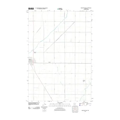
2010 Map of Wheaton East
USGS Topo · Published 2010About this map
Wheaton serves as the focal point for this Traverse County landscape, showing the town's residential grid and the Wheaton Post Office near the intersection of several county highways. The surrounding terrain is defined by a sophisticated water management system of drainage canals, including County Ditch Number Four, County Ditch Number Thirtysix, and County Drain Number Twentyseven. These man-made channels intersect with natural waterways such as the Mustinka River and Eighteenmile Creek, reflecting a landscape heavily modified for agricultural productivity. Local history is anchored by the Wildwood Cemetery on the northwestern edge of town and Saint Johns Cemetery to the east. Farther afield, the Johnsons Aero Repair Airport sits near the winding course of the West Branch Twelvemile Creek, illustrating the intersection of rural aviation and the natural drainage patterns of the Minnesota prairie.
Find a feature on this map
26 named features on this map. Tap any name to fly to it.
Don’t see what you’re looking for? This feature index may not catch every label — zoom into the map to look around manually.
Map Details
Editions of this 2010 Wheaton East Map
This is the sole edition of this map. No revisions or reprints were ever made.
Other maps of this area

1915 · White Rock
USGS Topo · 1:62,500

1916 · Beardsley
USGS Topo · 1:62,500

1918 · White Rock
USGS Topo · 1:62,500

1918 · Beardsley
USGS Topo · 1:62,500

1950 · Graceville
USGS Topo · 1:62,500

1951 · Wheaton
USGS Topo · 1:62,500

1953 · Milbank
USGS Topo · 1:250,000

1958 · Milbank
USGS Topo · 1:250,000
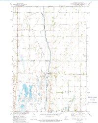
1972 · Boisberg
USGS Topo · 1:24,000
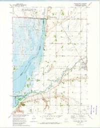
1972 · Wheaton West
USGS Topo · 1:24,000