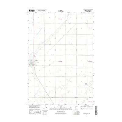
2016 Map of Wheaton East
USGS Topo · Published 2016About this map
The Mustinka River winds through the heart of this agricultural landscape in Traverse County, framing the eastern expansion of Wheaton. This 2016 survey illustrates a meticulously managed water system, where the natural meanders of Eighteenmile Cr and Twelvemile Cr meet engineered drainage such as County Ditch Number Twentyseven and County Ditch Number Four. The map serves as a vital record for family researchers, detailing the exact locations of Wildwood Cem and Saint Johns Cem near the town center.
Find a feature on this map
40 named features on this map. Tap any name to fly to it.
Don’t see what you’re looking for? This feature index may not catch every label — zoom into the map to look around manually.
Map Details
Editions of this 2016 Wheaton East Map
This is the sole edition of this map. No revisions or reprints were ever made.
Other maps of this area

1915 · White Rock
USGS Topo · 1:62,500

1916 · Beardsley
USGS Topo · 1:62,500

1918 · White Rock
USGS Topo · 1:62,500

1918 · Beardsley
USGS Topo · 1:62,500

1950 · Graceville
USGS Topo · 1:62,500

1951 · Wheaton
USGS Topo · 1:62,500

1953 · Milbank
USGS Topo · 1:250,000

1958 · Milbank
USGS Topo · 1:250,000
1972 · Boisberg
USGS Topo · 1:24,000
1972 · Wheaton West
USGS Topo · 1:24,000