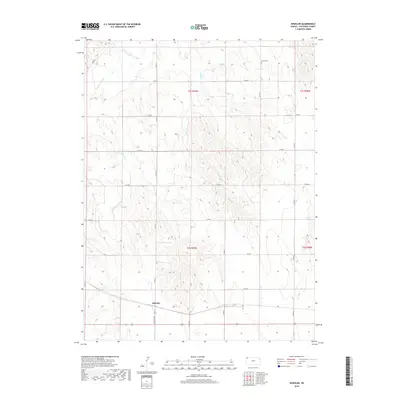
2018 Map of Wheeler
USGS Topo · Published 2018About this map
Wheeler serves as the primary settlement on this High Plains survey, positioned along the southern edge near Kansas Ave. The landscape is defined by the drainage networks of the S Fork Republican River and its various tributaries, including Cleveland Run and Valley Cr. These waterways create a series of subtle draws and plateaus that have historically dictated the placement of rural infrastructure. Evidence of early community life is preserved at the Barley Cem in the northeastern quadrant, while the rural road network, characterized by routes like Co RD S and Co RD U, provides a clear view of the section-line development typical of Cheyenne County. Small water features like Leach Pond and the headwaters of Bluff Cr punctuate the agricultural sections, marking the transition from river bottom to upland prairie.
Find a feature on this map
21 named features on this map. Tap any name to fly to it.
Don’t see what you’re looking for? This feature index may not catch every label — zoom into the map to look around manually.
Map Details
Editions of this 2018 Wheeler Map
This is the sole edition of this map. No revisions or reprints were ever made.
Other maps of this area

1942 · St. Francis
USGS Topo · 1:62,500

1943 · St. Francis
USGS Topo · 1:62,500

1951 · St Francis
USGS Topo · 1:62,500

1951 · Bird City North
USGS Topo · 1:62,500

1951 · Bird City South
USGS Topo · 1:62,500

1952 · St Francis 3
USGS Topo · 1:62,500

1954 · Goodland
USGS Topo · 1:250,000

1956 · Goodland
USGS Topo · 1:250,000

1957 · Goodland
USGS Topo · 1:250,000

1976 · Bird City North
USGS Topo · 1:24,000