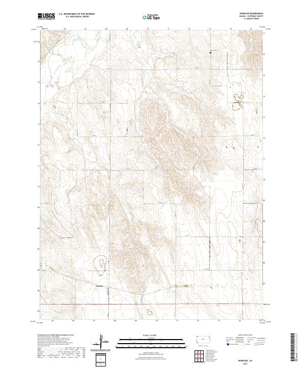
2022 Map of Wheeler
USGS Topo · Published 2022About this map
Wheeler sits at the junction of Kansas Ave and local county roads in this high plains corner of Cheyenne County. The landscape is defined by the deep incisions of the S Fork Republican River and its various tributaries, which carve through the grid-iron section lines of the Public Land Survey System. In the northern reaches of the quadrangle, Cleveland Run and Bluff Cr drain toward the river, while the solitary Barley Cem provides a genealogical landmark for the surrounding rural sections. The township organization of t2s r39w, t2s r38w, t3s r39w, and t3s r38w is clearly delineated, showing how contemporary agriculture and land ownership follow these historic rectangular boundaries. Southward, the terrain remains moderately dissected by waterways like Valley Cr and features such as Leach Pond, illustrating the critical role of water management in this arid landscape.
Find a feature on this map
27 named features on this map. Tap any name to fly to it.
Don’t see what you’re looking for? This feature index may not catch every label — zoom into the map to look around manually.
Map Details
Editions of this 2022 Wheeler Map
This is the sole edition of this map. No revisions or reprints were ever made.
Other maps of this area

1942 · St. Francis
USGS Topo · 1:62,500

1943 · St. Francis
USGS Topo · 1:62,500

1951 · St Francis
USGS Topo · 1:62,500

1951 · Bird City North
USGS Topo · 1:62,500

1951 · Bird City South
USGS Topo · 1:62,500

1952 · St Francis 3
USGS Topo · 1:62,500

1954 · Goodland
USGS Topo · 1:250,000

1956 · Goodland
USGS Topo · 1:250,000

1957 · Goodland
USGS Topo · 1:250,000

1976 · Bird City North
USGS Topo · 1:24,000