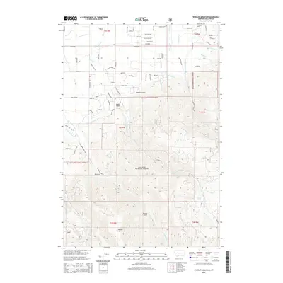
2014 Map of Wheeler Mountain
USGS Topo · Published 2014About this map
Tom Lay Prairie and the prominent Wheeler Mtn anchor this portion of the Gallatin National Forest, where the transition from agriculture to mountainous timberland is clearly defined. The northern reaches of the map show a developed network of irrigation and water management, including the W Gallatin Canal, Middle Cr Ditch, and Armstrong Ditch, which supported the valley's ranching and farming operations. The terrain quickly rises into the steep drainages of Hyalite Canyon and Hodgman Canyon.
Find a feature on this map
86 named features on this map. Tap any name to fly to it.
Don’t see what you’re looking for? This feature index may not catch every label — zoom into the map to look around manually.
Map Details
Editions of this 2014 Wheeler Mountain Map
This is the sole edition of this map. No revisions or reprints were ever made.
Other maps of this area

1888 · Three Forks
USGS Topo · 1:250,000

1891 · Livingston
USGS Topo · 1:250,000

1893 · Livingston
USGS Topo · 1:250,000

1894 · Three Forks
USGS Topo · 1:250,000

1895 · Three Forks
USGS Topo · 1:250,000

1947 · Bozeman
USGS Topo · 1:250,000

1948 · Bozeman
USGS Topo · 1:250,000

1951 · Bozeman Pass
USGS Topo · 1:62,500

1953 · Bozeman
USGS Topo · 1:62,500

1955 · Bozeman
USGS Topo · 1:250,000