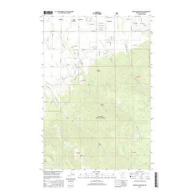
2017 Map of Wheeler Mountain
USGS Topo · Published 2017About this map
Wheeler Mtn stands as a prominent peak within the northern reaches of the Gallatin National Forest, anchoring a landscape defined by deep drainages and vital water infrastructure. The northern portion of the map shows the transition from the high country of Hyalite Canyon and Hodgman Canyon into the agricultural and residential fringes of Gallatin County. A complex network of irrigation works, including the Middle Cr Ditch, W Gallatin Canal, and Mystic Lake Ditch, illustrates the long-standing management of Hyalite Cr and other mountain streams for the valley below.
Find a feature on this map
89 named features on this map. Tap any name to fly to it.
Don’t see what you’re looking for? This feature index may not catch every label — zoom into the map to look around manually.
Map Details
Editions of this 2017 Wheeler Mountain Map
This is the sole edition of this map. No revisions or reprints were ever made.
Other maps of this area

1888 · Three Forks
USGS Topo · 1:250,000

1891 · Livingston
USGS Topo · 1:250,000

1893 · Livingston
USGS Topo · 1:250,000

1894 · Three Forks
USGS Topo · 1:250,000

1895 · Three Forks
USGS Topo · 1:250,000

1947 · Bozeman
USGS Topo · 1:250,000

1948 · Bozeman
USGS Topo · 1:250,000

1951 · Bozeman Pass
USGS Topo · 1:62,500

1953 · Bozeman
USGS Topo · 1:62,500

1955 · Bozeman
USGS Topo · 1:250,000