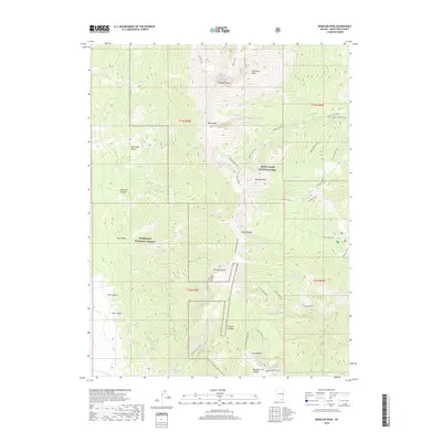
2018 Map of Wheeler Peak
USGS Topo · Published 2018About this map
Wheeler Peak and the surrounding high-altitude terrain of the Snake Range dominate this study of Nevada's interior wilderness. The geography is characterized by dramatic elevation changes, where alpine lakes like Baker Lake and Treasure Lake sit in glacial cirques beneath soaring summits. The map reveals a complex network of trails, including the Glacier Trail and Summit Trail, which provide access to the core of Great Basin National Park. Further south, the landscape transitions toward Mt Washington and Lincoln Peak, with steep drainage features like Lincoln Canyon and Box Canyon cutting through the limestone and quartzite. Evidence of the region's mineral history persists at Hub Mine Basin, while the western slopes are protected within the Humboldt National Forest, illustrating the overlap of various federal land management legacies.
Find a feature on this map
46 named features on this map. Tap any name to fly to it.
Don’t see what you’re looking for? This feature index may not catch every label — zoom into the map to look around manually.
Map Details
Editions of this 2018 Wheeler Peak Map
This is the sole edition of this map. No revisions or reprints were ever made.
Other maps of this area

1948 · Wheeler Peak
USGS Topo · 1:62,500

1949 · Garrison
USGS Topo · 1:62,500

1950 · Wheeler Peak
USGS Topo · 1:62,500

1951 · Garrison
USGS Topo · 1:62,500

1956 · Lund
USGS Topo · 1:250,000

1956 · Ely
USGS Topo · 1:250,000

1959 · Ely
USGS Topo · 1:250,000

1959 · Sacramento Pass
USGS Topo · 1:62,500

1960 · Lund
USGS Topo · 1:250,000

1963 · Ely
USGS Topo · 1:250,000