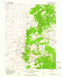
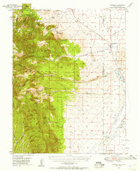
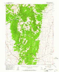
1959 Map of Sacramento Pass
USGS Topo · Published 1961About this map
Osceola and Black Horse appear as designated sites in the late 1950s, marking a landscape defined by the remnants of Nevada's mining history. The high peaks of the Snake Range dominate the eastern half of the map, where the Humboldt National Forest encompasses landmarks such as Buck Mtn and Stella Lake. In the lowlands of Spring Valley to the west, isolated settlements like Hogum and Cleve sit along drainage systems such as Cleve Creek and Dry Gulch.
Find a feature on this map
90 named features on this map. Tap any name to fly to it.
Don’t see what you’re looking for? This feature index may not catch every label — zoom into the map to look around manually.
Map Details
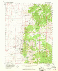
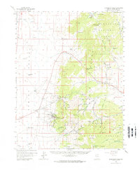
Editions of this 1959 Sacramento Pass Map
3 editions found
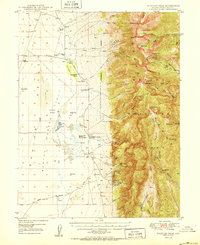
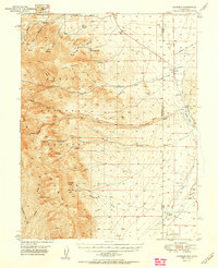
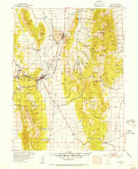
Other maps of this area
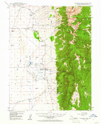
1948 · Wheeler Peak
USGS Topo · 1:62,500
1949 · Garrison
USGS Topo · 1:62,500
1950 · Wheeler Peak
USGS Topo · 1:62,500
1951 · Garrison
USGS Topo · 1:62,500
1952 · Ely
USGS Topo · 1:125,000

1956 · Lund
USGS Topo · 1:250,000

1956 · Ely
USGS Topo · 1:250,000

1959 · Ely
USGS Topo · 1:250,000
1959 · Connors Pass
USGS Topo · 1:62,500
1959 · Schell Peaks
USGS Topo · 1:62,500