
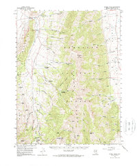
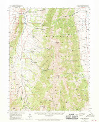
1959 Map of Schell Peaks
USGS Topo · Published 1961About this map
Schell Creek Range dominates this landscape, serving as a high-altitude spine between Spring Valley to the east and the watershed of Duck Creek to the west. This 1959 field-checked survey documents a transition in land use within the Humboldt National Forest, where traditional mining and ranching interests like the Success Mine and Peacock Spring exist alongside growing recreational and infrastructure developments. The presence of a Fish Hatchery and several youth camps, including Camp Success (Boy Scout) and a Girl Scout Camp, indicates the area's value for civic use and conservation during the late fifties. High-elevation peaks like North Schell Peak and South Schell Peak are mapped alongside a complex network of jeep trails and a prominent pipeline, reflecting the mid-century push for resource extraction and utility access through difficult terrain.
Find a feature on this map
66 named features on this map. Tap any name to fly to it.
Don’t see what you’re looking for? This feature index may not catch every label — zoom into the map to look around manually.
Map Details
Editions of this 1959 Schell Peaks Map
3 editions found
Other maps of this area

1952 · Ely
USGS Topo · 1:125,000

1956 · Ely
USGS Topo · 1:250,000

1958 · McGill
USGS Topo · 1:24,000

1958 · East Ely
USGS Topo · 1:24,000

1958 · Comins Lake
USGS Topo · 1:24,000

1958 · Ely
USGS Topo · 1:62,500

1958 · McGill
USGS Topo · 1:62,500

1959 · Ely
USGS Topo · 1:250,000

1959 · Sacramento Pass
USGS Topo · 1:62,500

1959 · Connors Pass
USGS Topo · 1:62,500