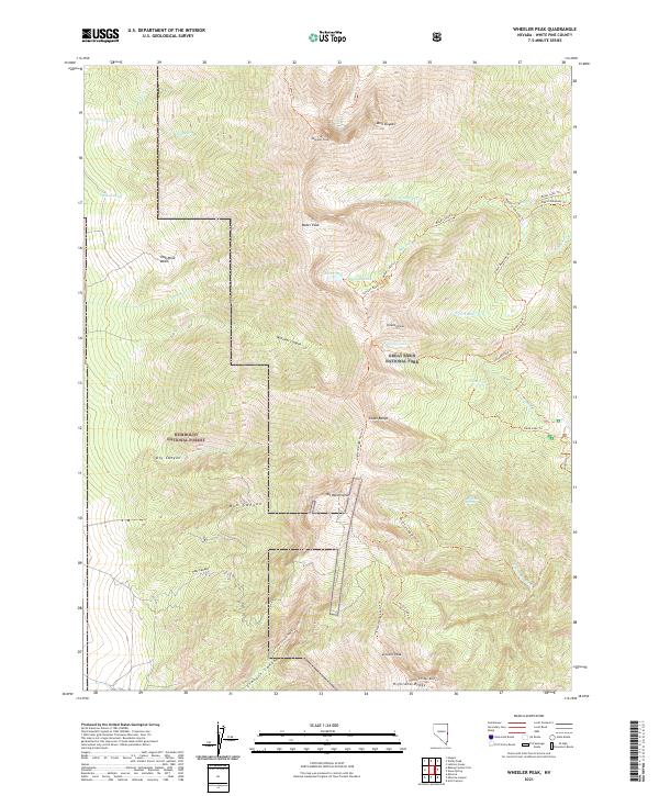
2021 Map of Wheeler Peak
USGS Topo · Published 2021About this map
Wheeler Peak and Doso Doyabi dominate this high-elevation landscape within Great Basin National Park. The terrain is defined by extreme relief and glacial features, including the Hub Mine Basin and a series of alpine water bodies such as Baker Lake, Johnson Lake, and the small Treasure Lake. A dense network of trails, such as the Glacier Trl and Baker Lake Trl, suggests the area's importance for backcountry recreation and conservation management under both the National Park Service and Humboldt National Forest.
Find a feature on this map
48 named features on this map. Tap any name to fly to it.
Don’t see what you’re looking for? This feature index may not catch every label — zoom into the map to look around manually.
Map Details
Editions of this 2021 Wheeler Peak Map
This is the sole edition of this map. No revisions or reprints were ever made.
Other maps of this area

1948 · Wheeler Peak
USGS Topo · 1:62,500

1949 · Garrison
USGS Topo · 1:62,500

1950 · Wheeler Peak
USGS Topo · 1:62,500

1951 · Garrison
USGS Topo · 1:62,500

1956 · Lund
USGS Topo · 1:250,000

1956 · Ely
USGS Topo · 1:250,000

1959 · Ely
USGS Topo · 1:250,000

1959 · Sacramento Pass
USGS Topo · 1:62,500

1960 · Lund
USGS Topo · 1:250,000

1963 · Ely
USGS Topo · 1:250,000